Mountain refuge Cabane d'El Trapal

We have it listed in the app!


            Mountain refuge Cabane d'El Trapal in refugio del trapal, senda la trapa-collarada, villanúa, la jacetania, huesca, aragón, 22870, españa
Five orange stars in a horizontal row representing a five-star rating.

Cabane d'El Trapal

Lat: 42.702xxx – Lon: -0.496xxx
📍 refugio del trapal, senda la trapa-collarada, villanúa, la jacetania, huesca, aragón, 22870, españa
Cabane d'El Trapal

If you are looking for total disconnection, venture into refugio del trapal, senda la trapa-collarada, villanúa, la jacetania, huesca, aragón, 22870, españa until you reach the Cabane d'El Trapal refuge, positioned at 1950 meters. Use your device to navigate to the exact point (42.702, -0.496) to find this alpine shelter.

See more
See more
Usuario

Lucas Martinez

Premium user

Live weather: Cabane d'El Trapal

If you plan to go up today to 1950 m at Cabane d'El Trapal, you will find 10.4°C with a feels-like temperature of 9.3°C. The freezing level is at 3480 m. The forecast shows steady winds of 12.1 km/h and peaks of 12.6 km/h. A high of 12.1°C is expected.
Temperature

10.4°C

Feels like: 9.3°C
Wind

12.1 km/h

Gusts: 12.6 km/h
Freezing level 0°

3480 m

Snow line
Sky & UV

UV 0.3

Clouds: 90%

Next 48 hours evolution

7-day forecast

04/06
12.1° 3.9°
1.18 mm 32 km/h UV máx: 5.4
06:25 21:35
05/06
12° 3.6°
0 mm 27.9 km/h UV máx: 8
06:24 21:36
06/06
15.1° 6.4°
0 mm 10.4 km/h UV máx: 7.4
06:24 21:36
07/06
18.7° 7.3°
0 mm 12 km/h UV máx: 7.45
06:24 21:37
08/06
19.6° 7.1°
0 mm 17.1 km/h UV máx: 8.1
06:24 21:38
09/06
15.6° 5.7°
0 mm 11.3 km/h UV máx: 7.65
06:23 21:38
10/06
17° 4.9°
0 mm 10.3 km/h UV máx: 7.7
06:23 21:39

The most useful thing when planning this coat is to understand your position regarding Villanúa and the journey routes that cross the Jacetania. On the access to the Necklace , the cabane works mainly as support to better distribute a long day or to gain margin before entering higher and exposed terrain. It can also make sense as a calculated deviation from signposted tours of the area, especially for those who link stages and need to order effort, level and time rather than looking for a quick step.

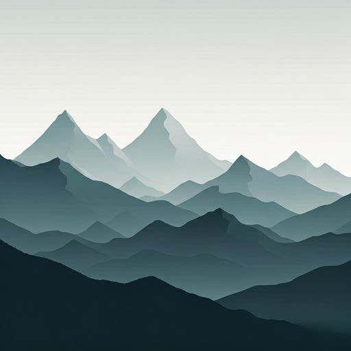
The environment is clearly limestone mountain, with strong relief and orientation changes that can have a significant impact on progression. At about 1,950 metres, the shelter is under the immediate presence of the circus summits of Necklace with the Campanils and the rock itself very close in a straight line. This context helps to read its role: not so much as the end of the walk, but as an intermediate point in an area where the terrain can be hardened and where the weather changes quickly. If used within a longer journey, it is appropriate to assess whether the deviation compensates for the status of the group, the visibility and the outstanding section of the day.

In logistics key, we do not have to have immediate water next to the shelter: the nearest registered sources are more than 2 km away, so it is necessary to leave with sufficient autonomy and review options before the rise. In the area they pass long routes such as GR 11.1 and variants of the Aragonese Way, which reinforces its usefulness in dividing stages or reorganizing a journey through the Aragonese Pyrenees. Precisely because of this combination of relative isolation, ground of height and possible links, it is interesting to arrive with prior planning of hours, water and margin in the face of time changes.

Hiking routes from the refuge

GR 65.3

Camino Aragonés

↔ Variable distance
Local

Vias Ferratas de Huesca

↔ Variable distance
GR 11.1

Variante Tacheras – Oza – Ref. Gabardito – Ref. de Lizara – Canfranc Estación – Canal Roya

↔ Variable distance
GR 65.3.1

Camino Aragonés

↔ Variable distance
GR 15

Etapa 10: Acumuer – Castiello de Jaca

↔ 21.4 km

Nearby peaks

Punta Escarra

2751 m
Lat: 42.7324 Lon: -0.4387

Campanil d'Izas

2268 m
Lat: 42.7473 Lon: -0.4585

Peña Collarada

2883 m
Lat: 42.7142 Lon: -0.4706

Campanils de Collarada

2684 m
Lat: 42.718 Lon: -0.4792

Pala de Alcañiz

2765 m
Lat: 42.7142 Lon: -0.4418

Punta d'a Tronquera

2693 m
Lat: 42.7361 Lon: -0.4684

Punta Arbenuso

2353 m
Lat: 42.7208 Lon: -0.4274

Punta del Aguila

2681 m
Lat: 42.7213 Lon: -0.4398

Nearby water fountains

Fuente

2.29 Km
Lat: 42.7213 Lon: -0.4398

Fuente

2.65 Km
Lat: 42.7213 Lon: -0.4398

Fuente

2.87 Km
Lat: 42.7213 Lon: -0.4398

Fuente

2.91 Km
Lat: 42.7213 Lon: -0.4398

Fuente

3.01 Km
Lat: 42.7213 Lon: -0.4398

Fuente

3.67 Km
Lat: 42.7213 Lon: -0.4398

Fuente

3.84 Km
Lat: 42.7213 Lon: -0.4398

Fuente

3.84 Km
Lat: 42.7213 Lon: -0.4398
FAQ

Frequently asked questions

Pregunta frecuente
Are there other mountain refuges near Cabane d'El Trapal?
Yes, nearby you can find other options to spend the night or take shelter. El refugio más próximo es el Refuge de la trapa / del Mirador, que se encuentra a aproximadamente 0.6 km de distancia.
Pregunta frecuente
At what exact altitude is the Cabane d'El Trapal refuge located?
The Cabane d'El Trapal refuge is located at an altitude of 1950 meters above sea level, in the natural surroundings of refugio del trapal, senda la trapa-collarada, villanúa, la jacetania, huesca, aragón, 22870, españa.
Pregunta frecuente
What are the GPS coordinates of the Cabane d'El Trapal refuge?
To locate the Cabane d'El Trapal refuge on your GPS or map, use the following coordinates: Latitude 42.702 and Longitude -0.496.
More areas

Other areas

Collaborative

Together we improve

image

Send your photos

You can upload photos of shelters and update their status so other users know if they can go there.

Get started
Get started
image

Rate the shelter

Leave your comments to rate the shelter’s condition. In the mountains, we look after each other.

Get started
Get started
image

Add new ones

Did we miss any? Publish the shelters you know so everyone can use them.

Get started
Get started
Download for free from the Apple App Store and Play Store.

Download the app and start looking for the shelter of your next adventure

Aplicación móvil para encontrar refugios de montaña donde dormir
Aplicación móvil para encontrar refugios de montaña donde dormir.
Mapa interactivo de refugios de montaña en los Pirineos dentro de la app
Mapa de refugios de montaña para senderismo y trekking en la app.
Pantalla con información de refugio de montaña con altitud capacidad y servicios
Pantalla con información de refugio de montaña con altitud capacidad y servicios.
Detalles de refugio de montaña con servicios y meteorología en aplicación móvil
Detalles de refugio de montaña con servicios y meteorología en aplicación móvil.
Aplicación para explorar refugios de montaña mediante mapa interactivo
Aplicación para explorar refugios de montaña mediante mapa interactivo.
Ficha completa de refugio de montaña con opiniones y servicios
Ficha completa de refugio de montaña con opiniones y servicios.
Información detallada de refugio en app para montañeros
Información detallada de refugio en app para montañeros.
Listado de refugios de montaña para senderismo y trekking
Listado de refugios de montaña para senderismo y trekking.
Explorar refugios de montaña desde una aplicación móvil
Explorar refugios de montaña desde una aplicación móvil.