Mountain refuge Fuente del Paco
We have it listed in the app!
We have it listed in the app!


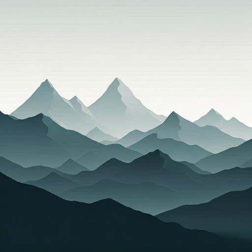
The mountains of refugio de la fuente del paco, pista de la fuente el paco, villanúa, la jacetania, huesca, aragón, 22870, españa hide essential places like the Fuente del Paco refuge. Situated at an elevation of 1250 meters, it offers protection and rest. Its exact coordinates are 42.681, -0.506.
15.5°C
Feels like: 14.6°C2.4 km/h
Gusts: 7.9 km/h3840 m
Snow lineUV 0
Clouds: 100% 3.7 mm
 24.9 km/h
 UV máx: 5.2
 06:25
06:25
 21:35
0 mm
19.1 km/h
UV máx: 7.95
06:25
21:36
0 mm
11.2 km/h
UV máx: 7.65
06:24
21:36
0 mm
12.6 km/h
UV máx: 7.9
06:24
21:37
0 mm
14 km/h
UV máx: 8.1
06:24
21:38
0 mm
13.8 km/h
UV máx: 7.7
06:23
21:38
0 mm
9.5 km/h
UV máx: 7.75
06:23
21:39
21:35
0 mm
19.1 km/h
UV máx: 7.95
06:25
21:36
0 mm
11.2 km/h
UV máx: 7.65
06:24
21:36
0 mm
12.6 km/h
UV máx: 7.9
06:24
21:37
0 mm
14 km/h
UV máx: 8.1
06:24
21:38
0 mm
13.8 km/h
UV máx: 7.7
06:23
21:38
0 mm
9.5 km/h
UV máx: 7.75
06:23
21:39
In the Aragon valley, under the massif of Necklace . Source of Paco , at 1,250 meters, it is in the surroundings of Villanúa and it works mainly as support in the half mountain that links the bottom of the valley with the slopes and crests that rise to Peña Collarada , Collaradeta and the Campanils. This level does not yet place it in a fully alpine environment, but it does place it in a strip where the change of time, the moisture of the forest and the accumulated gap towards high levels make the day very difficult.
Their interest is to serve as an intermediate point rather than a destination in itself. From this area the transition between valley itineraries and longer routes of the Aragonese Pyrenees is well understood. Near pass marked traces like the GR 65.3 , GR 11.1 and stages of the GR 15 so it can fit both on foot links through the Jacetania and on approaches to more demanding terrain. It is also close to secondary reliefs such as Punta de la Selva, which help to read the orientation of the terrain before gaining height towards the Collarada divisive.
This should be considered with a conservative approach. The presence of sources in the environment does not imply immediate water next to the shelter: the nearest ones are just over 2 kilometres away, so it is not wise to have safe recharge at the same point. For routes to summits or traverses, it is reasonable to leave with sufficient water autonomy and equipment for time changes. In a passing area like this, between long-distance trails and more serious mountain access, the real utility of Source of Paco It depends above all on how it is integrated into comprehensive planning and not on last-minute resources.


📏 0.4 Km
⛰️ 1250m m

📏 1.9 Km
⛰️ 1730 m

📏 2.1 Km
⛰️ 949.79 m

📏 2.5 Km
⛰️ 1950 m
📏 2.7 Km
⛰️ 1680 m

📏 3.2 Km
⛰️ 1211 m

📏 4.4 Km
⛰️ 1045m m

📏 5.7 Km
⛰️ 1875 m
Download the app and start looking for the shelter of your next adventure


Find a place to sleep before night falls.


