Mountain refuge Refugio Fuente del Paco

We have it listed in the app!


            Mountain refuge Refugio Fuente del Paco in viejas pistas madereras, villanúa, la jacetania, huesca, aragón, 22870, españa
Five orange stars in a horizontal row representing a five-star rating.

Refugio Fuente del Paco

Lat: 42.681xxx – Lon: -0.501xxx
📍 viejas pistas madereras, villanúa, la jacetania, huesca, aragón, 22870, españa
Refugio Fuente del Paco

If you are planning a route through viejas pistas madereras, villanúa, la jacetania, huesca, aragón, 22870, españa, the Refugio Fuente del Paco refuge is a must-stop. Located at 1250 m above sea level, it offers hikers and climbers a safe place to regain strength. Save its coordinates (42.681, -0.501) in your GPS to stay on course during your journey.

See more
See more
Usuario

Lucas Martinez

Premium user

Live weather: Refugio Fuente del Paco

At the moment, conditions in Refugio Fuente del Paco (1250m) show 13.9°C (feels like 12°C). Wind is blowing at 2.6 km/h with gusts up to 9.4 km/h. Today, a high of 15.8°C is expected and the freezing level is at 4330 meters.
Temperature

13.9°C

Feels like: 12°C
Wind

2.6 km/h

Gusts: 9.4 km/h
Freezing level 0°

4330 m

Snow line
Sky & UV

UV 0

Clouds: 84%

Next 48 hours evolution

7-day forecast

04/06
15.8° 9.3°
2.6 mm 28.6 km/h UV máx: 5.2
06:25 21:35
05/06
17.1° 6.6°
0 mm 17.2 km/h UV máx: 7.95
06:25 21:36
06/06
22.5° 11°
0 mm 12 km/h UV máx: 7.65
06:24 21:36
07/06
26.8° 14.6°
0 mm 12.4 km/h UV máx: 7.9
06:24 21:37
08/06
25.4° 15.2°
0 mm 14 km/h UV máx: 8.1
06:24 21:38
09/06
20.8° 11.4°
0 mm 12.5 km/h UV máx: 7.7
06:23 21:38
10/06
23.6° 9.4°
0 mm 9.5 km/h UV máx: 7.75
06:23 21:39

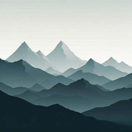
On this side of Villanúa, between old wooden slopes and the start of the mountain, the terrain changes rapidly. At the height of 1250 meters still dominates an atmosphere of half mountain, but above is clearly imposed the massif of Peña Collarada , which marks the horizon and gives the environment a more alpine profile than its initial altitude might make it think.

The Fuente del Paco Refuge It is mainly a basic support for the Collarada side and for the routes that link the Aragon Valley with long-distance routes. In the vicinity they are drawn as the GR 65.3 and the GR 11.1, so that it may have interest as a point of passage or guard within open days in this area of the Jacetania, without depending on it as if it were a shelter with confirmed services.

The reading of the landscape helps to understand its usefulness. Clear mountain references such as Peña Collarada, Campanils de Collarada or la Collaradeta are on the rise, while closer to Punta de la Selva, they announce a progressive transition from forest to more open slopes and, according to the chosen route, areas of pedesta and crest. This makes it a more logical reference for mountaineers who are already moving with autonomy than for those looking for a comfortable coat next to an obvious access.

It is appropriate to plan with margin. There is no immediate source next to the shelter and the nearest ones are more than 2 km away, so the water should not be taken for granted at the night point. It is also reasonable to provide for time changes and not to base the day on unverified information about its status or equipment.

In this part of the Pyrenees Valley of the Aragon, the shelter works best as a conservative resource: a support in a transition area between forest and limestone mountain, useful to divide routes or gain position towards the saw, but not as an element on which to download all the logistics of the exit.

Hiking routes from the refuge

GR 65.3

Camino Aragonés

↔ Variable distance
GR 11.1

Variante Tacheras – Oza – Ref. Gabardito – Ref. de Lizara – Canfranc Estación – Canal Roya

↔ Variable distance
GR 65.3.1

Camino Aragonés

↔ Variable distance
GR 15

Etapa 10: Acumuer – Castiello de Jaca

↔ 21.4 km
GR 15

Etapa 11: Castiello de Jaca – Aragüés del Puerto

↔ 19.2 km

Nearby peaks

Peña Collarada

2883 m
Lat: 42.7142 Lon: -0.4706

Campanils de Collarada

2684 m
Lat: 42.718 Lon: -0.4792

Peña Pequeña o Collaradeta

2724 m
Lat: 42.7065 Lon: -0.4588

Punta de la Selva

1614 m
Lat: 42.6751 Lon: -0.5123

Punta Escobona

1948 m
Lat: 42.6787 Lon: -0.4476

Monte Apóstol

1136 m
Lat: 42.6594 Lon: -0.534

Pico del Fraile

2604 m
Lat: 42.7116 Lon: -0.4618

Pico de la Ralla

2147 m
Lat: 42.6848 Lon: -0.4584

Nearby water fountains

Fuente

2.34 Km
Lat: 42.6848 Lon: -0.4584

Fuente

2.48 Km
Lat: 42.6848 Lon: -0.4584

Fuente

2.54 Km
Lat: 42.6848 Lon: -0.4584

Fuente

2.55 Km
Lat: 42.6848 Lon: -0.4584

Fuente

2.74 Km
Lat: 42.6848 Lon: -0.4584

Fuente

3.39 Km
Lat: 42.6848 Lon: -0.4584

Fuente

3.95 Km
Lat: 42.6848 Lon: -0.4584

Fuente

4.28 Km
Lat: 42.6848 Lon: -0.4584
FAQ

Frequently asked questions

Pregunta frecuente
At what exact altitude is the Refugio Fuente del Paco refuge located?
The Refugio Fuente del Paco refuge is located at an altitude of 1250 meters above sea level, in the natural surroundings of viejas pistas madereras, villanúa, la jacetania, huesca, aragón, 22870, españa.
Pregunta frecuente
What are the GPS coordinates of the Refugio Fuente del Paco refuge?
To locate the Refugio Fuente del Paco refuge on your GPS or map, use the following coordinates: Latitude 42.681 and Longitude -0.501.
Pregunta frecuente
Is it necessary to carry a GPS to reach the Refugio Fuente del Paco refuge?
It is always highly recommended to carry a GPS device, a route track, or a topographic map in the mountains. You can use the coordinates 42.681, -0.501 to locate this refuge precisely.
More areas

Other areas

Collaborative

Together we improve

image

Send your photos

You can upload photos of shelters and update their status so other users know if they can go there.

Get started
Get started
image

Rate the shelter

Leave your comments to rate the shelter’s condition. In the mountains, we look after each other.

Get started
Get started
image

Add new ones

Did we miss any? Publish the shelters you know so everyone can use them.

Get started
Get started
Download for free from the Apple App Store and Play Store.

Download the app and start looking for the shelter of your next adventure

Aplicación móvil para encontrar refugios de montaña donde dormir
Aplicación móvil para encontrar refugios de montaña donde dormir.
Mapa interactivo de refugios de montaña en los Pirineos dentro de la app
Mapa de refugios de montaña para senderismo y trekking en la app.
Pantalla con información de refugio de montaña con altitud capacidad y servicios
Pantalla con información de refugio de montaña con altitud capacidad y servicios.
Detalles de refugio de montaña con servicios y meteorología en aplicación móvil
Detalles de refugio de montaña con servicios y meteorología en aplicación móvil.
Aplicación para explorar refugios de montaña mediante mapa interactivo
Aplicación para explorar refugios de montaña mediante mapa interactivo.
Ficha completa de refugio de montaña con opiniones y servicios
Ficha completa de refugio de montaña con opiniones y servicios.
Información detallada de refugio en app para montañeros
Información detallada de refugio en app para montañeros.
Listado de refugios de montaña para senderismo y trekking
Listado de refugios de montaña para senderismo y trekking.
Explorar refugios de montaña desde una aplicación móvil
Explorar refugios de montaña desde una aplicación móvil.