Mountain refuge Refugio de Collado Jermoso
We have it listed in the app!
We have it listed in the app!


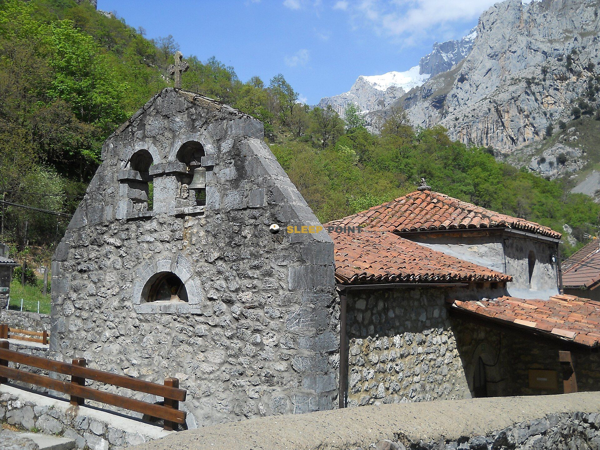
If you are planning a route through refugio collado jermoso, subida a la torre de la palanca, posada de valdeón, león, castilla y león, 24915, españa, the Refugio de Collado Jermoso refuge is a must-stop. Located at 2072 m above sea level, it offers hikers and climbers a safe place to regain strength. Save its coordinates (43.173, -4.869) in your GPS to stay on course during your journey.
8.9°C
Feels like: 7.8°C12.4 km/h
Gusts: 9.4 km/h4320 m
Snow lineUV 0
Clouds: 40% 0.38 mm
 19.5 km/h
 UV máx: 7.95
 06:41
06:41
 21:54
0 mm
16.1 km/h
UV máx: 7.1
06:40
21:55
0 mm
10.7 km/h
UV máx: 4.5
06:40
21:55
0 mm
6.5 km/h
UV máx: 8
06:40
21:56
1.2 mm
10 km/h
UV máx: 7.1
06:39
21:57
0.3 mm
6.5 km/h
UV máx: 7
06:39
21:57
0.6 mm
6.7 km/h
UV máx: 7.75
06:39
21:58
21:54
0 mm
16.1 km/h
UV máx: 7.1
06:40
21:55
0 mm
10.7 km/h
UV máx: 4.5
06:40
21:55
0 mm
6.5 km/h
UV máx: 8
06:40
21:56
1.2 mm
10 km/h
UV máx: 7.1
06:39
21:57
0.3 mm
6.5 km/h
UV máx: 7
06:39
21:57
0.6 mm
6.7 km/h
UV máx: 7.75
06:39
21:58
In the Central Massif of the Picos of Europe, the ground around this shelter transmits a clear sense of height, edge and void. The hill where it sits, above Posada de Valdeón and at 2072 meters, places it in a fully mountainous environment, with abrupt relief and a reading of the landscape dominated by limestone towers, channels and crest. It does not work so much as a valley coat as an advanced point within the Leoness sector of the Urrieles, in an area where weather and visibility make the day very difficult.
Its role makes sense above all as a support for promotion and journey routes. The approach is part of the effort of the day, and it should be raised with margin because the access is already on mountain grounds, without the logic of a short walk from the bottom of the valley. In the surroundings there are marked references such as the route of Collado Jermoso and connections from the Valdeon valley, while better known routes of the park, such as the Cares, help to place it within a very large area but do not amount to immediate access. By location, it is a useful place to divide stages or gain height before moving through the heart of the massif.
It also stands out for its relationship with several nearby summits. The Peñalba Tower is very close, and on the same mountain horizon are chained names like Pico Madejuno, Pico Tesorero or Peña Vieja, in addition to the broader context of the Palanca Tower and the Casiano Tower of Prado. Even the Picu Urriellu appears relatively close in mountain line, which helps to understand the alpine character of the enclave. More than a low-pass shelter, this site is interpreted as a basis for crest, hills and massif tops.
For practical purposes, there is a source very close to the shelter, although in the high mountain it is always appropriate to confirm its state and not to depend on a single point of water. Altitude, exposure to time change and relative isolation suggest sufficient autonomy and prudent planning, especially if it is to link summits or continue to other sectors of Picos in Europe.


📏 2.8 Km
⛰️ 2324 m

📏 2.8 Km
⛰️ 1874 m

📏 3.5 Km
⛰️ 1433 m

📏 3.6 Km
⛰️ 1525 m

📏 4.5 Km
⛰️ 2041 m

📏 4.6 Km
⛰️ 1231 m

📏 5.1 Km
⛰️ 1975 m
📏 6.6 Km
⛰️ 1394 m
Download the app and start looking for the shelter of your next adventure


Find a place to sleep before night falls.


