Mountain refuge Refuge pastoral de San Vicenda
We have it listed in the app!
We have it listed in the app!


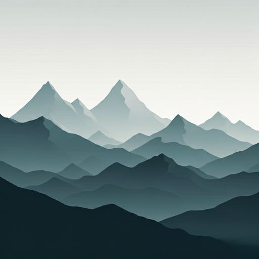
The Refuge pastoral de San Vicenda refuge acts as a base camp for the summits and routes of camino la valle, puértolas, sobrarbe, huesca, aragón, españa. At 1720 meters of elevation, its coordinates (42.62, 0.059) represent safety after a long day of effort.
8.4°C
Feels like: 6°C2.3 km/h
Gusts: 2.9 km/h3950 m
Snow lineUV 0
Clouds: 100% 3.65 mm
 18.1 km/h
 UV máx: 6.95
 06:23
06:23
 21:32
0 mm
13.8 km/h
UV máx: 7.8
06:23
21:33
0 mm
11.9 km/h
UV máx: 7.4
06:22
21:34
0.1 mm
11.5 km/h
UV máx: 7.8
06:22
21:34
0 mm
14.2 km/h
UV máx: 8.05
06:22
21:35
4.5 mm
13.6 km/h
UV máx: 7.6
06:21
21:36
0 mm
12 km/h
UV máx: 7.7
06:21
21:36
21:32
0 mm
13.8 km/h
UV máx: 7.8
06:23
21:33
0 mm
11.9 km/h
UV máx: 7.4
06:22
21:34
0.1 mm
11.5 km/h
UV máx: 7.8
06:22
21:34
0 mm
14.2 km/h
UV máx: 8.05
06:22
21:35
4.5 mm
13.6 km/h
UV máx: 7.6
06:21
21:36
0 mm
12 km/h
UV máx: 7.7
06:21
21:36
The approach to Pastoral Refuge of San Vicenda is moved by mountain terrain in a very concrete strip of the Sobrarbe, over Puértolas, between the Plana Canal neck and the head of the Añisclo Canyon . This position, at about 1,720 metres, places it in a transition area between the high platforms of the park and the most marked descents towards the valley, so that it does not function so much as a shelter of immediate passage next to the road or bottom of the ravine, but as support on itineraries that already require continuity of march and some reading of the land.
The main geographical reference is the massif of Ordesa and Monte Perdido with the circus and the hill of Añisclo towards the upper part and the Sierra Custody closing the nearby relief. Summits like the Pico d'Añisclo , the Inferior Pico of Añisclo or Punta Guardia help to understand the character of the environment: open slopes, cords and steps that link sectors very different from the park. In this context, the shelter can serve to guide a cross-section journey, to divide a long day or as a point of withdrawal if you need to lose height or leave more engaged routes from the massif.
It also fits well within the long-distance hiking in the area. In the near future, variants of GR 15. 1 and HRP , in addition to Fallo's link to Giriz , so its usefulness is more in connecting routes and offering an intermediate reference than in acting as an isolated destination. From here the relationship between Fanlo, Vió, Buerba, the sector of Añisclo and the steps towards higher levels is well understood, something useful when planning tours with various exit options.
In practical terms, autonomy should be provided. There is a watershed about 1.2 km away, but the actual availability of water may vary according to time and conditions, so it is not appropriate to depend on it without prior confirmation. In an area so exposed to time changes and with long routes between references, it is worth reviewing weather, map and downfall alternatives before the day is proposed.


📏 1.1 Km
⛰️ 1810 m

📏 1.2 Km
⛰️ 1800 m

📏 1.7 Km
⛰️ 1715m m
📏 2.4 Km
⛰️ 1740 m

📏 2.5 Km
⛰️ 1697 m

📏 2.7 Km
⛰️ 1926 m

📏 3.1 Km
⛰️ 1840 m

📏 3.3 Km
⛰️ 1500m m
Download the app and start looking for the shelter of your next adventure


Find a place to sleep before night falls.


