Mountain refuge Choza del Muchachón
We have it listed in the app!
We have it listed in the app!


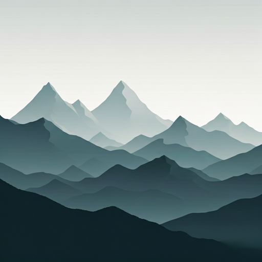
The Choza del Muchachón refuge acts as a base camp for the summits and routes of choza del muchachón, senda de los abuelos del bosque, covaleda, soria, castilla y león, 42157, españa. At 1897 meters of elevation, its coordinates (41.973, -2.856) represent safety after a long day of effort.
10.6°C
Feels like: 8.4°C10.1 km/h
Gusts: 58.3 km/h4470 m
Snow lineUV 0
Clouds: 100% 0 mm
0 mm
 15.8 km/h
 UV máx: 6.45
 06:37
06:37
 21:42
0 mm
17.9 km/h
UV máx: 7.9
06:36
21:43
0 mm
12 km/h
UV máx: 7.6
06:36
21:43
0 mm
19.1 km/h
UV máx: 7.95
06:36
21:44
0 mm
16.1 km/h
UV máx: 8.2
06:36
21:45
0 mm
10.8 km/h
UV máx: 7.8
06:35
21:45
0 mm
12 km/h
UV máx: 7.8
06:35
21:46
21:42
0 mm
17.9 km/h
UV máx: 7.9
06:36
21:43
0 mm
12 km/h
UV máx: 7.6
06:36
21:43
0 mm
19.1 km/h
UV máx: 7.95
06:36
21:44
0 mm
16.1 km/h
UV máx: 8.2
06:36
21:45
0 mm
10.8 km/h
UV máx: 7.8
06:35
21:45
0 mm
12 km/h
UV máx: 7.8
06:35
21:46
The Picos of Urbion define the environment of this free Soriano shelter. Located at 1897 meters of altitude at the end of Covaleda , Choza del Chachón It is located in a transition area where the dense forest of wild pine begins to yield to the high mountain terrain. Its location along the Senda de los Abuelos del Bosque allows the mountaineers to manage the effort before reaching the upper levels of the massif, serving as a clear visual reference in the progression towards the cords that divide the sides of the Duero.
The location is strategic for those who travel the first stage of the GR 14 which unites the Fuentes del Duero with Vinuesa or local routes such as PRC-SO 75 and Route through the Valley of Paul . From this point of view, the ground becomes more demanding, facilitating access to nearby summits such as the Mojón Alto or Three Sources . Being a knot of trails that includes the Urbion Valley and Path of the Portilla , the shelter functions as a logistical support point to fail long days of crossing the saw.
Because of its altitude and isolation, it is essential that the mountaineer maintain complete autonomy. There are no water sources in the immediate vicinity, with the nearest supply points several kilometres away. This requires careful planning of the fluid load before starting the approach from the valley or continuing to more exposed areas such as the Risco Zurraquín or the circus of the Black Lagoon . The state of the shelter and its open character make it an emergency or short rest resource in a changing weather environment.


📏 1 Km
⛰️ 1919 m

📏 2.6 Km
⛰️ 1842 m

📏 3.3 Km
⛰️ 1579 m

📏 4 Km
⛰️ 1571 m
📏 5.1 Km
⛰️ 1454 m

📏 5.4 Km
⛰️ 1255 m

📏 5.6 Km
⛰️ 1168 m

📏 5.6 Km
⛰️ 1769 m
Download the app and start looking for the shelter of your next adventure


Find a place to sleep before night falls.


