Mountain refuge Cabane Melloux
We have it listed in the app!
We have it listed in the app!


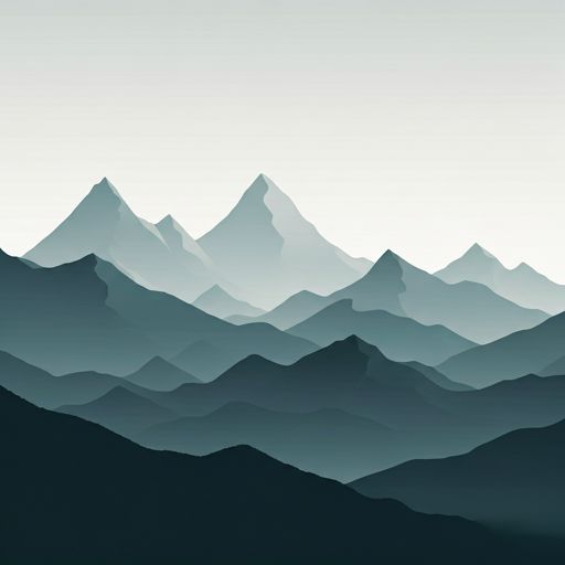
The mountains of cabane meloux - luchonais, d 44h, labach, melles, saint-gaudens, alto garona, occitania, francia metropolitana, 31440, francia hide essential places like the Cabane Melloux refuge. Situated at an elevation of 1410 meters, it offers protection and rest. Its exact coordinates are 42.851, 0.804.
12.3°C
Feels like: 11.4°C2.3 km/h
Gusts: 7.6 km/h4000 m
Snow lineUV 1.2
Clouds: 100% 14.07 mm
 15.1 km/h
 UV máx: 4.35
 06:19
06:19
 21:30
0.2 mm
9.3 km/h
UV máx: 7.05
06:19
21:31
1.5 mm
9.7 km/h
UV máx: 7.4
06:18
21:32
2.5 mm
6.2 km/h
UV máx: 7.15
06:18
21:32
3.9 mm
9.9 km/h
UV máx: 7.85
06:18
21:33
3.3 mm
6.6 km/h
UV máx: 4.4
06:18
21:34
0 mm
8.2 km/h
UV máx: 7.7
06:17
21:34
21:30
0.2 mm
9.3 km/h
UV máx: 7.05
06:19
21:31
1.5 mm
9.7 km/h
UV máx: 7.4
06:18
21:32
2.5 mm
6.2 km/h
UV máx: 7.15
06:18
21:32
3.9 mm
9.9 km/h
UV máx: 7.85
06:18
21:33
3.3 mm
6.6 km/h
UV máx: 4.4
06:18
21:34
0 mm
8.2 km/h
UV máx: 7.7
06:17
21:34
At a height of 1410 m, the Cabane Melloux functions as a support point on the French side of Melles , very close to the line with the Aran Valley . Its coordinates, 42.851389 and 0.804444, place it in a relief of transition between mountain forest and more open slopes that look towards the border crossings of San Juan de Torán , Campesin and Eth Pradet . The immediate environment is not of high summit, but of a very marked half-mountain pirenaica, with close references such as Cap de la Pique 1.22 km, Pica de Horadic 1.5 km and the most dominant Pic du Crabere which raises the horizon line to 2630 m.
From this logistics base, the gap is felt fast: in a short distance it is passed from the forest coat to the crests and herbous shoulders that link with Cap de Gauch or Tuc dera Comassa . The usual terrain combines track or path of approach with wet sections, constant slopes and orientation that should be monitored when fog enters from the divisive. It is not a road vivac, but a useful place to share effort before gaining height or to fail a journey between secondary valleys of the struggle and Aran.
In route key, the cabin is relatively close to the Pyrenees axis of the GR 10 , while to the south there are connections with the GR 211 and its variants GR 211.2 and GR 211.3 . For the water logistics, the nearest reference is about 1.4 km, so it is appropriate not to take for granted immediate supply next to the shelter. On fresh nights or with a change of time, these details weigh: to load water before climbing, to anticipate heat coat and to use the Cabane Melloux as a tactical stop rather than a complacent end of the day.


📏 0.6 Km
⛰️ 1640 m

📏 1.5 Km
⛰️ 1660 m

📏 1.9 Km
⛰️ 1430 m

📏 1.9 Km
⛰️ 1450 m

📏 2.3 Km
⛰️ 1616 m

📏 2.4 Km
⛰️ 1170 m

📏 2.8 Km
⛰️ 1868 m

📏 2.8 Km
⛰️ 1870 m
Download the app and start looking for the shelter of your next adventure


Find a place to sleep before night falls.


