Mountain refuge Cabane de Fontanille
We have it listed in the app!
We have it listed in the app!


Prepare your backpack and head to route de saint-julien d'arpaon, balazuègnes, saint-julien-d'arpaon, cans et cévennes, florac, lozère, occitania, francia metropolitana, 48400, francia. There you will find the Cabane de Fontanille refuge at 700 meters of elevation. An essential stop along the way (Lat: 44.304, Lon: 3.655) for any mountain enthusiast.
13.3°C
Feels like: 12.2°C7.1 km/h
Gusts: 16.6 km/h4310 m
Snow lineUV 0
Clouds: 100% 8.7 mm
 19.3 km/h
 UV máx: 2.95
 06:03
06:03
 21:24
0 mm
19.4 km/h
UV máx: 7.2
06:02
21:25
0 mm
17.6 km/h
UV máx: 7.25
06:02
21:25
0 mm
8.7 km/h
UV máx: 7.2
06:01
21:26
0 mm
13 km/h
UV máx: 7.6
06:01
21:27
0 mm
21.1 km/h
UV máx: 7.15
06:01
21:27
0 mm
6.4 km/h
UV máx: 7.5
06:01
21:28
21:24
0 mm
19.4 km/h
UV máx: 7.2
06:02
21:25
0 mm
17.6 km/h
UV máx: 7.25
06:02
21:25
0 mm
8.7 km/h
UV máx: 7.2
06:01
21:26
0 mm
13 km/h
UV máx: 7.6
06:01
21:27
0 mm
21.1 km/h
UV máx: 7.15
06:01
21:27
0 mm
6.4 km/h
UV máx: 7.5
06:01
21:28
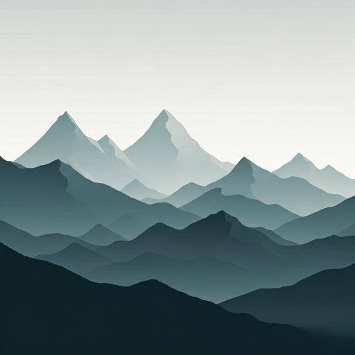
The Cabane de Fontanille is mainly a support for the division of days in the Cans et Cévennes inside the Lozère. It is not in a high-mountain, but in a half-mountain relief where the orientation and management of the stage remain important, especially if long routes are linked. In this environment, your interest does not depend so much on the immediate high levels and on serving as a useful reference on the map when you cross the area between small cords, forest slopes and link roads.
Its position makes sense by the proximity of signposted routes of different reach. It appears relatively close to trace as VdT 02 Florac - Ispagnac , GR 67 and GR 7 , in addition to local variants such as Les courennes. This allows us to assess whether it compensates for using it as a step point or as a small detour to fail a longer day. It also helps to position itself with regard to references of the near relief, with cimas such as La Chaumette and, more importantly, the Signal du Bougès , which mark the mountainous character of this section of the Cévennes without making it strictly alpine land.
At about 700 meters of altitude, the cabane moves on a moderate level, but that does not eliminate the need for prudent planning. There are sources registered less than a kilometre away, although it is necessary to have autonomy and to verify on the ground their flow or state according to the time. As in many free shelters or walking coats, it is more sensible to propose it as a logistical resource within a journey than as an isolated destination, taking into account weather, water available and sufficient scope to reorient if long routes are linked to this cevenol sector.


📏 3.2 Km
⛰️ 910 m

📏 4.6 Km
⛰️ 1190 m

📏 4.9 Km
⛰️ 620 m
📏 7.2 Km
⛰️ 1030 m

📏 8.7 Km
⛰️ 950 m
📏 8.7 Km
⛰️ 1095 m

📏 10 Km
⛰️ 920 m

📏 13.8 Km
⛰️ 870 m
Download the app and start looking for the shelter of your next adventure


Find a place to sleep before night falls.


