Mountain refuge Refuge-bivouac de Chalin

We have it listed in the app!


            Mountain refuge Refuge-bivouac de Chalin in refuge de chalin, chemin du fahy, vérossaz, saint-maurice, vallés, 1891, suiza
Five orange stars in a horizontal row representing a five-star rating.

Refuge-bivouac de Chalin

Lat: 46.179xxx – Lon: 6.947xxx
📍 refuge de chalin, chemin du fahy, vérossaz, saint-maurice, vallés, 1891, suiza
Refuge-bivouac de Chalin

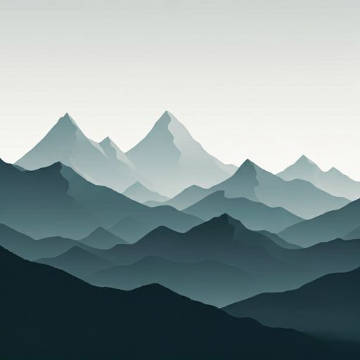
If you are looking for total disconnection, venture into refuge de chalin, chemin du fahy, vérossaz, saint-maurice, vallés, 1891, suiza until you reach the Refuge-bivouac de Chalin refuge, positioned at 2595 meters. Use your device to navigate to the exact point (46.179, 6.947) to find this alpine shelter.

See more
See more
Usuario

Lucas Martinez

Premium user

Live weather: Refuge-bivouac de Chalin

Before heading to Refuge-bivouac de Chalin, check the weather: we currently have 5.2°C (feels like 0.7°C). With wind gusts reaching 72.4 km/h and a freezing level around 3490 meters, the daytime high will not exceed 5.9°C.
Temperature

5.2°C

Feels like: 0.7°C
Wind

15.8 km/h

Gusts: 72.4 km/h
Freezing level 0°

3490 m

Snow line
Sky & UV

UV 3.4

Clouds: 100%

Next 48 hours evolution

7-day forecast

04/06
5.9° -0.4°
25.7 mm 25.3 km/h UV máx: 5.65
05:42 21:18
05/06
1.5° -1.6°
3.5 mm 16.2 km/h UV máx: 5.8
05:42 21:19
06/06
10.5° 1.4°
0.2 mm 16 km/h UV máx: 7.15
05:41 21:20
07/06
11.1° 2.3°
0 mm 11 km/h UV máx: 7.25
05:41 21:20
08/06
15° 5.1°
0 mm 17.1 km/h UV máx: 6.7
05:41 21:21
09/06
11° 3.8°
2.4 mm 13 km/h UV máx: 1.65
05:40 21:22
10/06
7.8° 1.2°
0 mm 12.1 km/h UV máx: 7.4
05:40 21:22

Over 2,500 meters, the terrain changes. The Refuge-bivouac de Chalin , in the sector of Vérossaz and Saint-Maurice, it is in the severe environment of the Dents du Midi , very close to summits like Cime de l'Est , Cathédrale, l'Éperon, Le Doigt or the Haute Cime . This proximity to a chain that clearly exceeds three thousand meters places the shelter in a clearly alpine context, with crest, stony slopes and a fast-changing weather. At 2595 m, it does not work as a comfortable stop of passage as basic support to move through an area where orientation, state of the ground and autonomy weigh more than the simple distance on the map.

Their practical interest is to serve as a point of break or support within long paths of the environment, especially if they are linked to routes such as the Tour des Dents du Midi , the Tour du Vallon de Van or mountain tracks of the Martigny region. In this sense, you can make up for a detour if the day requires to divide effort, gain room for time changes or prepare an early step towards higher levels. It is appropriate to plan with caution: there is no immediate source next to the shelter and the nearest one is more than 2.5 km away, so the water should not be taken for granted. No equipment, places or services should be available without confirmation. For those who pass through this part of the Valais, the useful reference is not only the shelter itself, but its position at the base of a complex relief, between crossing routes and mountain terrain where each logistical detail counts.

Hiking routes from the refuge

70

Via Francigena

↔ Variable distance
Local

Tour du Vallon de Van

↔ Variable distance
Local

Tour de la Vallée du Trient

↔ 65.7 km
[email protected]

Tour des Dents du Midi

↔ Variable distance
Local

Chemin pédestre de montagne, région Martigny

↔ Variable distance
Local

Les Crosets-Sur Cou

↔ Variable distance
Local

Sur Cou-Champery

↔ Variable distance
Local

Géoglyphe de Grande Tête

↔ Variable distance

Nearby peaks

Haute Cime

3257 m
Lat: 46.1611 Lon: 6.923

Dent du Salentin

2483 m
Lat: 46.1512 Lon: 6.996

Le Doigt

3210 m
Lat: 46.1627 Lon: 6.9261

Cime de l'Est

3178 m
Lat: 46.1729 Lon: 6.9481

Cathédrale

3160 m
Lat: 46.1697 Lon: 6.9362

l'Éperon

3114 m
Lat: 46.1678 Lon: 6.9322

Dent Jaune

3186 m
Lat: 46.1657 Lon: 6.929

Rochers de Gagnerie

2735 m
Lat: 46.1622 Lon: 6.9638

Nearby water fountains

Fuente

2.68 Km
Lat: 46.1622 Lon: 6.9638

Fuente

4.08 Km
Lat: 46.1622 Lon: 6.9638

Fuente

4.75 Km
Lat: 46.1622 Lon: 6.9638

Fuente

4.78 Km
Lat: 46.1622 Lon: 6.9638

Fuente

4.79 Km
Lat: 46.1622 Lon: 6.9638

Fuente

4.99 Km
Lat: 46.1622 Lon: 6.9638

Fuente

5.2 Km
Lat: 46.1622 Lon: 6.9638

Fuente

5.5 Km
Lat: 46.1622 Lon: 6.9638
FAQ

Frequently asked questions

Pregunta frecuente
Is it necessary to carry a GPS to reach the Refuge-bivouac de Chalin refuge?
It is always highly recommended to carry a GPS device, a route track, or a topographic map in the mountains. You can use the coordinates 46.179, 6.947 to locate this refuge precisely.
Pregunta frecuente
In which municipality or region is the Refuge-bivouac de Chalin refuge located?
This refuge is located within the municipality of Vérossaz, belonging to the community or region of Vallés.
Pregunta frecuente
Are there other mountain refuges near Refuge-bivouac de Chalin?
Yes, nearby you can find other options to spend the night or take shelter. El refugio más próximo es el Refuge des Dents du Midi, que se encuentra a aproximadamente 1.8 km de distancia.
More areas

Other areas

Collaborative

Together we improve

image

Send your photos

You can upload photos of shelters and update their status so other users know if they can go there.

Get started
Get started
image

Rate the shelter

Leave your comments to rate the shelter’s condition. In the mountains, we look after each other.

Get started
Get started
image

Add new ones

Did we miss any? Publish the shelters you know so everyone can use them.

Get started
Get started
Download for free from the Apple App Store and Play Store.

Download the app and start looking for the shelter of your next adventure

Aplicación móvil para encontrar refugios de montaña donde dormir
Aplicación móvil para encontrar refugios de montaña donde dormir.
Mapa interactivo de refugios de montaña en los Pirineos dentro de la app
Mapa de refugios de montaña para senderismo y trekking en la app.
Pantalla con información de refugio de montaña con altitud capacidad y servicios
Pantalla con información de refugio de montaña con altitud capacidad y servicios.
Detalles de refugio de montaña con servicios y meteorología en aplicación móvil
Detalles de refugio de montaña con servicios y meteorología en aplicación móvil.
Aplicación para explorar refugios de montaña mediante mapa interactivo
Aplicación para explorar refugios de montaña mediante mapa interactivo.
Ficha completa de refugio de montaña con opiniones y servicios
Ficha completa de refugio de montaña con opiniones y servicios.
Información detallada de refugio en app para montañeros
Información detallada de refugio en app para montañeros.
Listado de refugios de montaña para senderismo y trekking
Listado de refugios de montaña para senderismo y trekking.
Explorar refugios de montaña desde una aplicación móvil
Explorar refugios de montaña desde una aplicación móvil.