Mountain refuge Bivacco Achille Ratti
We have it listed in the app!
We have it listed in the app!
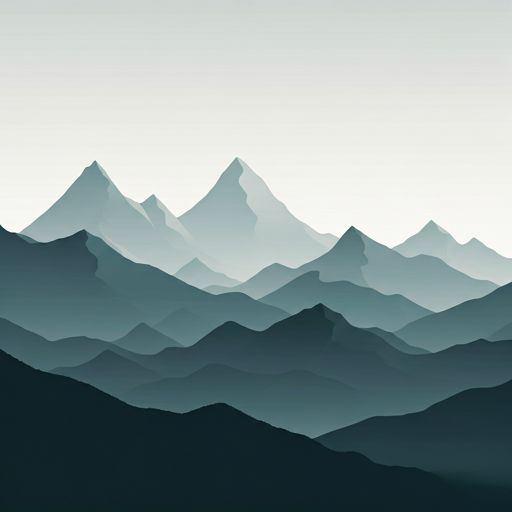

Located in the heart of bivacco ratti, salita alla punta lioy, bionaz, valle de aosta, 11021, italia, the Bivacco Achille Ratti refuge offers shelter at 3740 meters above sea level. Ideal for trekking and nature lovers, this mountain shelter (Lat: 45.949, Lon: 7.601) is the perfect starting point or resting place for local routes.
-1.5°C
Feels like: -6.1°C6.4 km/h
Gusts: 35.6 km/h3800 m
Snow lineUV 0
Clouds: 98% 14.6 mm
 18.4 km/h
 UV máx: 5.9
 05:41
05:41
 21:14
0.2 mm
21.1 km/h
UV máx: 8.05
05:40
21:15
0 mm
17.6 km/h
UV máx: 5.2
05:40
21:16
0.3 mm
10.4 km/h
UV máx: 8.4
05:39
21:17
4.8 mm
8.9 km/h
UV máx: 7.25
05:39
21:17
2.7 mm
16.8 km/h
UV máx: 5.95
05:39
21:18
0 mm
8.3 km/h
UV máx: 8.15
05:38
21:19
21:14
0.2 mm
21.1 km/h
UV máx: 8.05
05:40
21:15
0 mm
17.6 km/h
UV máx: 5.2
05:40
21:16
0.3 mm
10.4 km/h
UV máx: 8.4
05:39
21:17
4.8 mm
8.9 km/h
UV máx: 7.25
05:39
21:17
2.7 mm
16.8 km/h
UV máx: 5.95
05:39
21:18
0 mm
8.3 km/h
UV máx: 8.15
05:38
21:19
The close presence of the Dent d'Hérens , the Tête de Valpelline and, more to the east, the Matterhorn places this vivac in a clearly alpine sector, of border crest, glaciers and terrain very exposed to rapid changes of time. In Valpelline , within the Aosta Valley, the Bivacco Achille Ratti appears on a very high level, 3740 meters, where wind, residual snow and weather can condition both the approach and the continuity of the day.
Its role fits mainly in the planning of long stages. More than a simple point of passage, it allows to fail high mountain tours in an environment where the links between hills, glaciers and shelters require time margin and autonomy. This transit logic is well understood by the proximity of wide-range itineraries such as the Tour du Cervin and its relationship with access to other vivacs in the area, which makes it a useful reference for linking long days on high ground.
It can also serve as support for mountaineers moving towards summits and steps of the immediate environment, always within a technical context and highly conditioned by the state of the land. It is not appropriate to read it as a valley shelter or as a comfortable stop for conventional hiking: its location responds to needs for progression in high mountains, with real isolation despite being within an area known by large alpine traverses.
In the logistics part, the most relevant data is the absence of water near the shelter. The registered sources are more than 2.7 km, a little practical distance at this altitude, so sufficient water should be provided before reaching the area. If it is raised as a point to divide stage, it is important to review the level conditions, visibility and weather stability, because at this altitudinal level any incidence greatly lengthen the time of movement.


📏 1.5 Km
⛰️ 3572 m

📏 1.7 Km
⛰️ 2770 m

📏 1.9 Km
⛰️ 3200 m

📏 3 Km
⛰️ 3695 m

📏 3.5 Km
⛰️ 2802 m

📏 3.8 Km
⛰️ 2788 m

📏 4.5 Km
⛰️ 3825 m

📏 4.9 Km
⛰️ 2970 m
Download the app and start looking for the shelter of your next adventure


Find a place to sleep before night falls.


