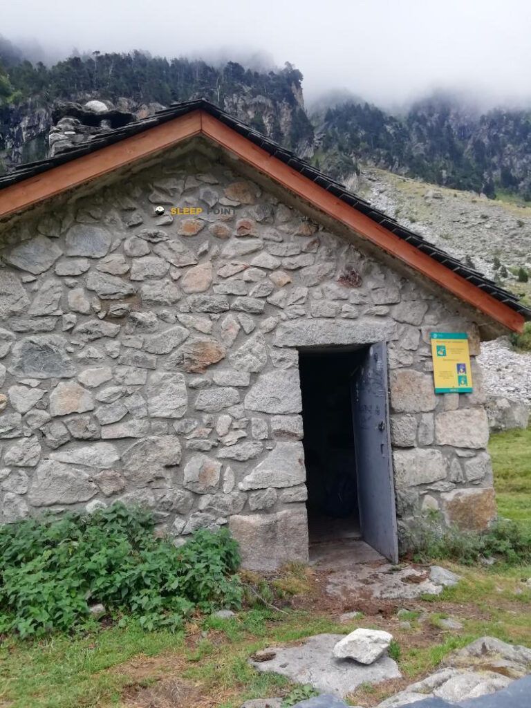
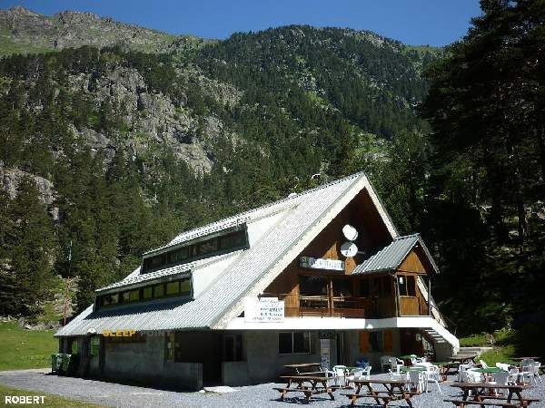
Mountain refuge Refuge Wallon - Marcadau
We have it listed in the app!
We have it listed in the app!


The Refuge Wallon - Marcadau refuge stands at 1866 meters above sea level, overlooking the surroundings of tour des lacs d'embarrats - pourtet - nère, cauterets, argelès-gazost, altos pirineos, occitania, francia metropolitana, 65400, francia. It is a key spot for mountaineers looking to spend the night or take a break. Its coordinates (42.82, -0.195) place it in a strategic position for exploring the peaks and trails of the region.
10.2°C
Feels like: 7.2°C12.1 km/h
Gusts: 37.4 km/h4200 m
Snow lineUV 0
Clouds: 100% 12.9 mm
 18.7 km/h
 UV máx: 3.65
 06:23
06:23
 21:34
0.4 mm
13.2 km/h
UV máx: 8.15
06:23
21:35
1.1 mm
11 km/h
UV máx: 7.85
06:22
21:36
0 mm
12.7 km/h
UV máx: 8.05
06:22
21:36
1.5 mm
11.5 km/h
UV máx: 8.3
06:22
21:37
0.6 mm
6.1 km/h
UV máx: 7.95
06:22
21:37
0 mm
9.1 km/h
UV máx: 7.9
06:22
21:38
21:34
0.4 mm
13.2 km/h
UV máx: 8.15
06:23
21:35
1.1 mm
11 km/h
UV máx: 7.85
06:22
21:36
0 mm
12.7 km/h
UV máx: 8.05
06:22
21:36
1.5 mm
11.5 km/h
UV máx: 8.3
06:22
21:37
0.6 mm
6.1 km/h
UV máx: 7.95
06:22
21:37
0 mm
9.1 km/h
UV máx: 7.9
06:22
21:38
In the Marcadau sector, above Causets and within the National Park of the Pyrenees, Refuge Wallon - Marcadau It fits well in a very practical reading of the terrain: not only as a stop, but as a point of withdrawal when the day is extended, the meteor changes or a journey needs room. At 1,866 meters, it is left in a useful passage area for those who link long routes such as the HRP and also for tours that connect to the environment of Bachimaña and Brazatos by the GR 11 . This position makes it relevant in planning, especially in open days between valleys, hills and lakes where it is appropriate to have an intermediate place clear before committing to longer steps.
The immediate environment is already clearly mountainous, with nearby summits such as the Grand Pic de Péterneille or the Pic Alphonse Meillon giving context to the relief, although the main interest here is not so much in using them as a direct objective as in understanding the shelter within a network of itineraries. For senderists with experience in pyrenees, it can be used to divide stages or cut exposure if time gets worse. There is a very close source, just a few meters away, but in mountain it is appropriate not to depend on a single point without checking its state before leaving. As in many mountain shelters, prudent planning goes through sufficient autonomy, a review of weather forecasting and no more than confirmed services.


📏 3.6 Km
⛰️ 2504 m

📏 3.7 Km
⛰️ 1621 m

📏 4.1 Km
⛰️ 2280 m

📏 4.1 Km
⛰️ 2280 m
📏 4.7 Km
⛰️ 1783 m

📏 4.9 Km
⛰️ 1850 m

📏 5.1 Km
⛰️ 1824 m
📏 5.2 Km
⛰️ 1562 m
Download the app and start looking for the shelter of your next adventure


Find a place to sleep before night falls.


