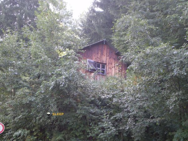
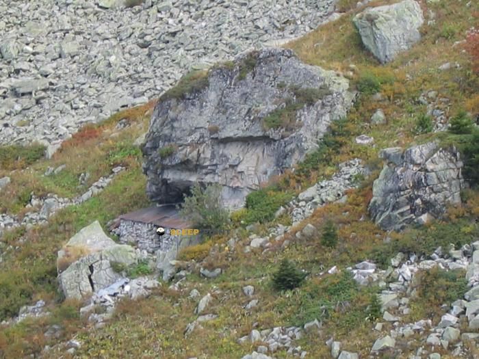
Mountain refuge Chalet de la Balme dessous
We have it listed in the app!
We have it listed in the app!

Protected by the wild surroundings of la balme dessous, chemin de montchabert, verdet, la gorge, argentine, saint-jean-de-maurienne, saboya, auvergne-rhône-alpes, francia metropolitana, 73220, francia, the Chalet de la Balme dessous refuge is your best ally at 1350 meters of elevation. Once you reach its coordinates (45.481, 6.345), you can enjoy a well-deserved mountain rest.
10°C
Feels like: 8.1°C3 km/h
Gusts: 4.7 km/h4050 m
Snow lineUV 0
Clouds: 100% 30.8 mm
 8.4 km/h
 UV máx: 4.2
 05:47
05:47
 21:18
0.4 mm
9 km/h
UV máx: 6.5
05:47
21:19
0 mm
12.1 km/h
UV máx: 7.55
05:46
21:19
0.5 mm
9.3 km/h
UV máx: 7.3
05:46
21:20
2.4 mm
10.8 km/h
UV máx: 6.95
05:46
21:21
10.2 mm
10.3 km/h
UV máx: 5.55
05:46
21:21
0 mm
7.5 km/h
UV máx: 7.35
05:45
21:22
21:18
0.4 mm
9 km/h
UV máx: 6.5
05:47
21:19
0 mm
12.1 km/h
UV máx: 7.55
05:46
21:19
0.5 mm
9.3 km/h
UV máx: 7.3
05:46
21:20
2.4 mm
10.8 km/h
UV máx: 6.95
05:46
21:21
10.2 mm
10.3 km/h
UV máx: 5.55
05:46
21:21
0 mm
7.5 km/h
UV máx: 7.35
05:45
21:22
Villa de la Balme dessous fits well as an intermediate stop or withdrawal point. At 1,350 metres, in the sector of Argentine, within the interior Savoy and in the surroundings of Saint-Jean-de-Maurienne, it is located in a point that marks transition between inhabited mountain and clearly mountainous land, useful to cut a day, reorganize a journey or leave height if time changes.
Its practical interest is increased by the proximity of hiking routes that connect with longer routes. In this area the Haute Traversée de Belledonne for GR 738 , so the shelter can be read as a support within a step-by-step progression, not only as an isolated destination. There are also pastoral tours and local loops that help to move along the slopes and hills of the environment, something useful to propose variants or decreases without depending on a single line of passage.
The nearby relief reinforces that support function rather than that of a simple walk cabin. Summits like the Grand Pic de la Lauzière or the Pic du Rognolet are relatively close and draw a serious mountain environment, with significant levels above the shelter. This does not automatically turn access into a technician, but it does place the villa in a space where orientation, meteorology and effort management weigh more than on a short forest itinerary.
The logistics should also be read well. No immediate water points appear next to the shelter and the registered sources are several kilometres away, so it is not wise to have near supply without checking it before. On a long day on this part of Auvergne-Rhône@-@ Alpes, this distance forces us to leave with a water margin and with a clear idea of the intended route.
For its position, the Villa de la Balme dessous It works mainly as mountain support in an area where the traffic and the sense of isolation coexist. It can be used to link routes, fail an increase or resolve an orderly withdrawal to lower levels, especially when planning requires escape options rather than direct ascension.


📏 1 Km
⛰️ 1895 m

📏 1.1 Km
⛰️ 1510 m

📏 1.5 Km
⛰️ 1240 m

📏 1.7 Km
⛰️ 1874 m

📏 1.8 Km
⛰️ 1780 m
📏 1.9 Km
⛰️ 1040 m

📏 2.3 Km
⛰️ 1539 m
📏 2.3 Km
⛰️ 1938 m
Download the app and start looking for the shelter of your next adventure


Find a place to sleep before night falls.


