Mountain refuge Cabane de Pellegrine

We have it listed in the app!


            Mountain refuge Cabane de Pellegrine in chapelle de la saulce, chemin du saut du laire, prapic, orcières, gap, altos alpes, provenza-alpes-costa azul, francia metropolitana, 05170, francia
Five orange stars in a horizontal row representing a five-star rating.

Cabane de Pellegrine

Lat: 44.677xxx – Lon: 6.392xxx
📍 chapelle de la saulce, chemin du saut du laire, prapic, orcières, gap, altos alpes, provenza-alpes-costa azul, francia metropolitana, 05170, francia
Cabane de Pellegrine

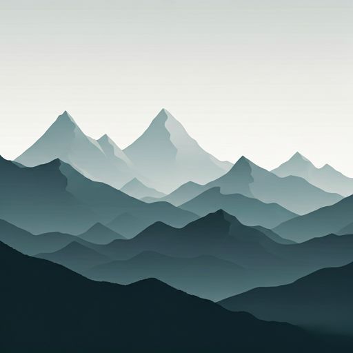
Discover the Cabane de Pellegrine refuge, an alpine shelter located at 2075 meters in the area of chapelle de la saulce, chemin du saut du laire, prapic, orcières, gap, altos alpes, provenza-alpes-costa azul, francia metropolitana, 05170, francia. Whether you are on a multi-day trek or a day hike, this point (44.677, 6.392) will provide the peace and shelter you seek in the mountains.

See more
See more
Usuario

Lucas Martinez

Premium user

Live weather: Cabane de Pellegrine

The current weather in Cabane de Pellegrine indicates a temperature of 7.7°C, although the 7.8 km/h wind makes it feel like 4.6°C. Watch out for gusts of 11.9 km/h. The snow altitude (freezing level 0°) is around 4170 m and today we will reach a high of 11.6°C.
Temperature

7.7°C

Feels like: 4.6°C
Wind

7.8 km/h

Gusts: 11.9 km/h
Freezing level 0°

4170 m

Snow line
Sky & UV

UV 0

Clouds: 100%

Next 48 hours evolution

7-day forecast

04/06
11.6° 3.5°
27.6 mm 13.1 km/h UV máx: 6.5
05:50 21:14
05/06
10.1° 2.3°
0.4 mm 10.7 km/h UV máx: 7.75
05:50 21:15
06/06
13.2° 5.7°
0 mm 16 km/h UV máx: 6.9
05:49 21:16
07/06
14.3° 6.4°
0 mm 15.2 km/h UV máx: 8.1
05:49 21:17
08/06
15.5° 8.9°
0.6 mm 20.3 km/h UV máx: 6.9
05:49 21:17
09/06
14.9° 8.3°
0 mm 15.5 km/h UV máx: 7.35
05:48 21:18
10/06
15.4° 6.8°
0 mm 15.9 km/h UV máx: 7.85
05:48 21:18

In the field of Prapic on the axis of the chapelle of the Saulce and the way of the Sut du Laire, the Cabane de Pellegrine is located on a mountain slope that works well as a reference on the map to read the relief between hills and crest. The immediate environment refers to the high valley of Orcières , in the Altos Alpes, with open terrain and a height that already introduces conditions of medium and high mountain according to the time.

At 2075 meters, this free shelter fits mainly in days where placement in the ground matters more than the proximity to a inhabited core. From here the connection to the Col de Freissinières , very close, and also its role as support for longer itineraries that go up from Prapic or link with lakes and hills. The near presence of summits like Pointe de Reyna , Le Tuba or Tête de Couleau reinforces this alpine character: not so much a walk point, but a support to move between cords, side changes and terrain exposed to time.

In planning, autonomy is needed. The registered sources do not appear next to the shelter, but more than 2 km away, so it is not wise to take the water for granted in the vicinity. The altitude and open position also make wind, fog or rapid weather changes able to condition the orientation and the speed of the drive. For those who prepare a mountain route through this sector of Provence-Alpes- Costa Azul, its usefulness is above all to serve as an intermediate and spatial reference point within a long day.

Hiking routes from the refuge

Local

Col de Freissinières

↔ 1 km
Local

Le lac des Estaris depuis le sommet du Drouvet

↔ 3 km
Local

Le Saut du Laire

↔ 9.1 km
Local

Le col des Terres Blanches depuis Prapic

↔ 22 km
Local

Balade des 6 Lacs

↔ Variable distance
Local

Balcon de l’Oussella et Quille du Laus

↔ 10.7 km
Local

Boucle de l'Oussella

↔ 6.6 km
Local

Cabane du Pré d'Antoni

↔ 8.8 km

Nearby peaks

Tête de Couleau

3038 m
Lat: 44.6843 Lon: 6.4548

Pointe de Reyna

2909 m
Lat: 44.6606 Lon: 6.3715

L'Homme

2873 m
Lat: 44.652 Lon: 6.3757

Le Tuba

3008 m
Lat: 44.6983 Lon: 6.4016

Pointe des Rougnous

2749 m
Lat: 44.6754 Lon: 6.4329

Roc Blanc

2897 m
Lat: 44.6829 Lon: 6.4428

Grand Pinier ou Pic Brun

3117 m
Lat: 44.7231 Lon: 6.4012

Tete des Maitz

2521 m
Lat: 44.6615 Lon: 6.446

Nearby water fountains

Fuente

2.49 Km
Lat: 44.6615 Lon: 6.446

Fuente

2.52 Km
Lat: 44.6615 Lon: 6.446

Fuente

2.54 Km
Lat: 44.6615 Lon: 6.446

Fuente

2.56 Km
Lat: 44.6615 Lon: 6.446

Fuente

5.44 Km
Lat: 44.6615 Lon: 6.446

Fuente

5.63 Km
Lat: 44.6615 Lon: 6.446

Fuente

6.18 Km
Lat: 44.6615 Lon: 6.446

Fuente

7.96 Km
Lat: 44.6615 Lon: 6.446
FAQ

Frequently asked questions

Pregunta frecuente
What are the GPS coordinates of the Cabane de Pellegrine refuge?
To locate the Cabane de Pellegrine refuge on your GPS or map, use the following coordinates: Latitude 44.677 and Longitude 6.392.
Pregunta frecuente
Is it necessary to carry a GPS to reach the Cabane de Pellegrine refuge?
It is always highly recommended to carry a GPS device, a route track, or a topographic map in the mountains. You can use the coordinates 44.677, 6.392 to locate this refuge precisely.
Pregunta frecuente
In which municipality or region is the Cabane de Pellegrine refuge located?
This refuge is located within the municipality of Orcières, belonging to the community or region of Provenza-Alpes-Costa Azul.
More areas

Other areas

Collaborative

Together we improve

image

Send your photos

You can upload photos of shelters and update their status so other users know if they can go there.

Get started
Get started
image

Rate the shelter

Leave your comments to rate the shelter’s condition. In the mountains, we look after each other.

Get started
Get started
image

Add new ones

Did we miss any? Publish the shelters you know so everyone can use them.

Get started
Get started
Download for free from the Apple App Store and Play Store.

Download the app and start looking for the shelter of your next adventure

Aplicación móvil para encontrar refugios de montaña donde dormir
Aplicación móvil para encontrar refugios de montaña donde dormir.
Mapa interactivo de refugios de montaña en los Pirineos dentro de la app
Mapa de refugios de montaña para senderismo y trekking en la app.
Pantalla con información de refugio de montaña con altitud capacidad y servicios
Pantalla con información de refugio de montaña con altitud capacidad y servicios.
Detalles de refugio de montaña con servicios y meteorología en aplicación móvil
Detalles de refugio de montaña con servicios y meteorología en aplicación móvil.
Aplicación para explorar refugios de montaña mediante mapa interactivo
Aplicación para explorar refugios de montaña mediante mapa interactivo.
Ficha completa de refugio de montaña con opiniones y servicios
Ficha completa de refugio de montaña con opiniones y servicios.
Información detallada de refugio en app para montañeros
Información detallada de refugio en app para montañeros.
Listado de refugios de montaña para senderismo y trekking
Listado de refugios de montaña para senderismo y trekking.
Explorar refugios de montaña desde una aplicación móvil
Explorar refugios de montaña desde una aplicación móvil.