Mountain refuge Abri

We have it listed in the app!


            Mountain refuge Abri in mont tendre, route du mont tendre, pré anselme, montricher, district de morges, valdia, 1147, suiza
Five orange stars in a horizontal row representing a five-star rating.

Abri

Lat: 46.594xxx – Lon: 6.31xxx
📍 mont tendre, route du mont tendre, pré anselme, montricher, district de morges, valdia, 1147, suiza
Abri

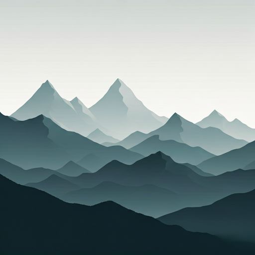
The Abri refuge (mont tendre, route du mont tendre, pré anselme, montricher, district de morges, valdia, 1147, suiza) is a classic meeting point for mountaineers and hikers. At 1655 meters, its coordinates 46.594, 6.31 mark the end of a stage or the beginning of a new adventure.

See more
See more
Usuario

Lucas Martinez

Premium user

Live weather: Abri

If you plan to go up today to 1655 m at Abri, you will find 8.1°C with a feels-like temperature of 4.5°C. The freezing level is at 3890 m. The forecast shows steady winds of 15.6 km/h and peaks of 37.8 km/h. A high of 10.3°C is expected.
Temperature

8.1°C

Feels like: 4.5°C
Wind

15.6 km/h

Gusts: 37.8 km/h
Freezing level 0°

3890 m

Snow line
Sky & UV

UV 0

Clouds: 100%

Next 48 hours evolution

7-day forecast

04/06
10.3° 5.6°
14.8 mm 30.8 km/h UV máx: 5.65
05:43 21:22
05/06
8.2° 3.5°
1.5 mm 23.1 km/h UV máx: 5.95
05:43 21:23
06/06
14.5° 5.5°
0 mm 20 km/h UV máx: 7.3
05:42 21:24
07/06
15.4° 6.3°
0 mm 14.5 km/h UV máx: 6.8
05:42 21:25
08/06
18.2° 7.4°
3 mm 12.7 km/h UV máx: 6.9
05:41 21:25
09/06
11.8° 6.3°
12 mm 14.6 km/h UV máx: 3.55
05:41 21:26
10/06
14° 3.3°
0 mm 12 km/h UV máx: 7.2
05:41 21:26

On the Mont Tendre

It appears in height, on Montracher and in the Jura vaudois. Abri at 1,655 metres, it is very close to the Mont Tendre , the highest level of the Swiss Jura, in an area of limestone relief, open lomas and ground where weather can change the sensation of the day quickly. More than a shelter linked to large Pyrenees summits, here your interest is in supporting within a wide mountain, exposed and highly conditioned by orientation and visibility.

Its position fits well as a point of passage or withdrawal on itineraries that cross this sector of Vaud. The Swiss section of the E4 and trails between Mollendruz , Romanmôtie , Pétra Felix or Dent du Vaulion . As the distances of these tracks are variable according to the chosen link, it is appropriate to read the shelter within a flexible planning: it can help to break a journey, offer protection in case of worsening, or serve as an intermediate reference in a long day by the high peaks and pastures of the massif.

Access and effort depend very much on the starting point. In this Jurasian mountain it does not always command the pure gap; they also count the continuity of the terrain, the wind, the fog and the ability to keep course in open spaces. That is why, even if the altitude is not extreme, it remains a mountain shelter that needs to be integrated in the course of the day.

As for water, the nearest invented source is several kilometres away, with Fontaine à Caton about 3.8 km as the nearest reference. This distance recommends that we do not have immediate supply in the environment of the shelter and leave with sufficient autonomy, especially if there is a journey or a long day in the area of Montracher.

Hiking routes from the refuge

Local

TP Mollendruz - Romainmôtie

↔ Variable distance
E4

European long distance path E4 - part Switzerland

↔ Variable distance
Local

Pétra Félix-Dent du Vaulion

↔ Variable distance
Local

Sagne Vuognard-Pétra Félix

↔ Variable distance
Local

Le Sentier gare - fixme

↔ Variable distance
Local

Le Sentier gare - fixme

↔ Variable distance
5

Chemin des Crêtes du Jura

↔ Variable distance
5

Chemin des Crêtes du Jura

↔ 17 km

Nearby water fountains

Fontaine à Caton

3.76 Km
Lat: 0 Lon: 0

Fuente

4.01 Km
Lat: 0 Lon: 0

Fuente

4.27 Km
Lat: 0 Lon: 0

Fuente

4.59 Km
Lat: 0 Lon: 0

Fuente

5.47 Km
Lat: 0 Lon: 0

Fuente

5.53 Km
Lat: 0 Lon: 0

Fuente

5.62 Km
Lat: 0 Lon: 0

Fuente

5.91 Km
Lat: 0 Lon: 0
FAQ

Frequently asked questions

Pregunta frecuente
At what exact altitude is the Abri refuge located?
The Abri refuge is located at an altitude of 1655 meters above sea level, in the natural surroundings of mont tendre, route du mont tendre, pré anselme, montricher, district de morges, valdia, 1147, suiza.
Pregunta frecuente
What are the GPS coordinates of the Abri refuge?
To locate the Abri refuge on your GPS or map, use the following coordinates: Latitude 46.594 and Longitude 6.31.
Pregunta frecuente
Is it necessary to carry a GPS to reach the Abri refuge?
It is always highly recommended to carry a GPS device, a route track, or a topographic map in the mountains. You can use the coordinates 46.594, 6.31 to locate this refuge precisely.
More areas

Other areas

Collaborative

Together we improve

image

Send your photos

You can upload photos of shelters and update their status so other users know if they can go there.

Get started
Get started
image

Rate the shelter

Leave your comments to rate the shelter’s condition. In the mountains, we look after each other.

Get started
Get started
image

Add new ones

Did we miss any? Publish the shelters you know so everyone can use them.

Get started
Get started
Download for free from the Apple App Store and Play Store.

Download the app and start looking for the shelter of your next adventure

Aplicación móvil para encontrar refugios de montaña donde dormir
Aplicación móvil para encontrar refugios de montaña donde dormir.
Mapa interactivo de refugios de montaña en los Pirineos dentro de la app
Mapa de refugios de montaña para senderismo y trekking en la app.
Pantalla con información de refugio de montaña con altitud capacidad y servicios
Pantalla con información de refugio de montaña con altitud capacidad y servicios.
Detalles de refugio de montaña con servicios y meteorología en aplicación móvil
Detalles de refugio de montaña con servicios y meteorología en aplicación móvil.
Aplicación para explorar refugios de montaña mediante mapa interactivo
Aplicación para explorar refugios de montaña mediante mapa interactivo.
Ficha completa de refugio de montaña con opiniones y servicios
Ficha completa de refugio de montaña con opiniones y servicios.
Información detallada de refugio en app para montañeros
Información detallada de refugio en app para montañeros.
Listado de refugios de montaña para senderismo y trekking
Listado de refugios de montaña para senderismo y trekking.
Explorar refugios de montaña desde una aplicación móvil
Explorar refugios de montaña desde una aplicación móvil.