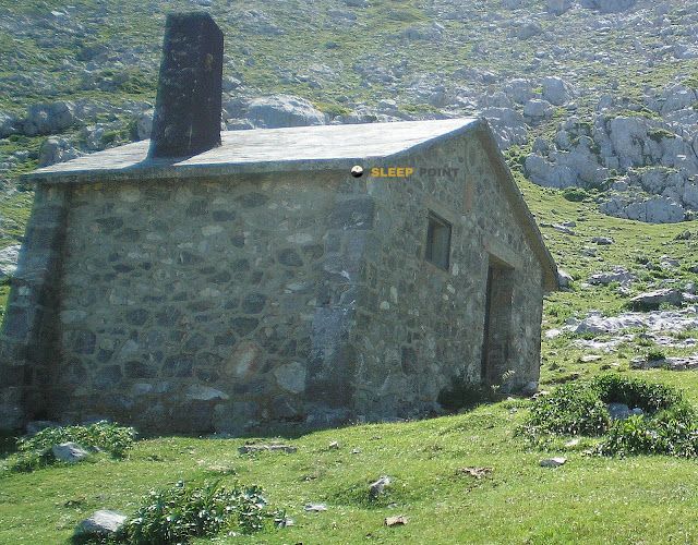
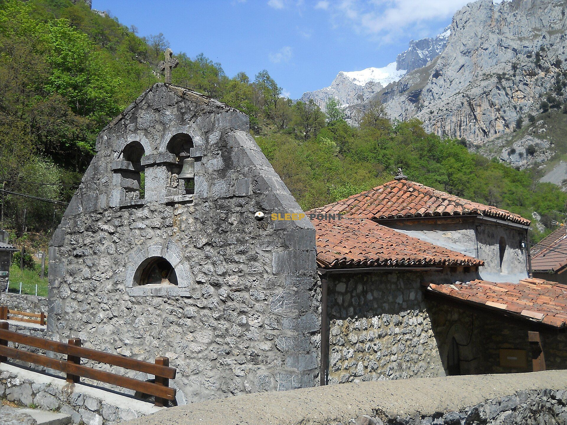
Mountain refuge Refugio de Vegabaño
We have it listed in the app!
We have it listed in the app!


Protected by the wild surroundings of refugio de vegabaño, camino vegabaño - el frade, oseja de sajambre, león, castilla y león, 24916, españa, the Refugio de Vegabaño refuge is your best ally at 1321 meters of elevation. Once you reach its coordinates (43.166, -5.005), you can enjoy a well-deserved mountain rest.
9.1°C
Feels like: 8.1°C6 km/h
Gusts: 18 km/h3600 m
Snow lineUV 0
Clouds: 100% 5.4 mm
 9.8 km/h
 UV máx: 7.75
 06:41
06:41
 21:55
0.4 mm
7.2 km/h
UV máx: 7.5
06:41
21:55
0 mm
10.6 km/h
UV máx: 5.5
06:40
21:56
0 mm
6.9 km/h
UV máx: 8.05
06:40
21:57
5.1 mm
12.6 km/h
UV máx: 7.2
06:40
21:57
1.5 mm
7.1 km/h
UV máx: 7.85
06:40
21:58
0 mm
9.1 km/h
UV máx: 7.85
06:39
21:58
21:55
0.4 mm
7.2 km/h
UV máx: 7.5
06:41
21:55
0 mm
10.6 km/h
UV máx: 5.5
06:40
21:56
0 mm
6.9 km/h
UV máx: 8.05
06:40
21:57
5.1 mm
12.6 km/h
UV máx: 7.2
06:40
21:57
1.5 mm
7.1 km/h
UV máx: 7.85
06:40
21:58
0 mm
9.1 km/h
UV máx: 7.85
06:39
21:58
The approach runs through half-mountain terrain. In the environment of Vegabaño within the municipality of Osseja de Sajambre, the forest and the slopes link with a more abrupt relief of the edge of the Picos de Europa, so that the shelter works as a transition between valley and mountain. At 1321 meters, it is not at an extreme level, but it is high enough for fog, rain or a quick change of time to condition the day.
Their practical interest appears especially when deciding whether to continue, divide a route or reserve forces. The arrival from Soto de Sajambre fits well in a day of classical hiking, while the proximity of itineraries such as the Senda del Arcediano or links of the park place it in a useful passage area to connect the sides and move between valleys. It can also be of support if an exit to nearby levels of the cordal is proposed, with references such as Pica Beza o Canto Cabronero, not so much as a basis for technical ascension but as an intermediate point in mountain terrain.
It should be put forward with a logic of autonomy. There is a source pointed at about 1.8 km, but it should not be considered safe without checking recent conditions, especially in dry periods. In an area where several routes have variable length and time can change quickly, this shelter is most useful when the time is right, the weather forces to be conservative or you want to share the effort before you follow other steps and paths in the sector of Saxambre.


📏 2.7 Km
⛰️ 1682 m

📏 3.9 Km
⛰️ 1547 m

📏 4.2 Km
⛰️ 1199 m

📏 4.6 Km
⛰️ 2039 m

📏 6.5 Km
⛰️ 1231 m
📏 6.8 Km
⛰️ 1715 m
📏 7.7 Km
⛰️ 1394 m

📏 7.7 Km
⛰️ 1448 m
Download the app and start looking for the shelter of your next adventure


Find a place to sleep before night falls.


