Mountain refuge Refugio de la Casa de la Sierra
We have it listed in the app!
We have it listed in the app!


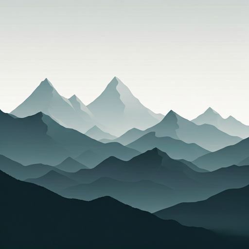
The Refugio de la Casa de la Sierra refuge (refugio de la casa de la sierra, camino casa de la sierra, tenada de la casa la sierra, barbadillo de herreros, burgos, castilla y león, 09615, españa) is a classic meeting point for mountaineers and hikers. At 1215 meters, its coordinates 42.195, -3.16 mark the end of a stage or the beginning of a new adventure.
12.2°C
Feels like: 11.6°C7.7 km/h
Gusts: 24.1 km/h3910 m
Snow lineUV 1.65
Clouds: 100% 0 mm
0 mm
 15 km/h
 UV máx: 6.45
 06:37
06:37
 21:44
0 mm
10.7 km/h
UV máx: 7.25
06:37
21:45
0 mm
8.7 km/h
UV máx: 7.95
06:37
21:45
0 mm
13.9 km/h
UV máx: 7.9
06:36
21:46
0 mm
17.8 km/h
UV máx: 8.15
06:36
21:46
0 mm
17.4 km/h
UV máx: 7.6
06:36
21:47
0 mm
11.1 km/h
UV máx: 7.8
06:36
21:48
21:44
0 mm
10.7 km/h
UV máx: 7.25
06:37
21:45
0 mm
8.7 km/h
UV máx: 7.95
06:37
21:45
0 mm
13.9 km/h
UV máx: 7.9
06:36
21:46
0 mm
17.8 km/h
UV máx: 8.15
06:36
21:46
0 mm
17.4 km/h
UV máx: 7.6
06:36
21:47
0 mm
11.1 km/h
UV máx: 7.8
06:36
21:48
The Refugio de la Casa de la Sierra is located at 1215 meters of altitude at the end of Barbadillo de Herreros. This location in the Sierra de la Demanda is key to those who travel the GR 290, integrating it as a relevant point of passage within the so-called Dos Aguas Route. Its location allows the mountaineers to organize the progression to the high areas of the massif, serving as a transition between the bottom of the valley and the most exposed cords. Being linked to the Camino Casa de la Sierra, it facilitates access to long distance routes, although it requires careful reading of the relief to manage the energies correctly before facing the levels that characterize this region of Castilla and León.
The usefulness of this free shelter as a basis for ascension to peaks such as the San Millán is subject to strict mountain autonomy. The rise from this point implies a direct transition to a high mountain terrain where orientation becomes a fundamental skill, especially in the face of the sudden changes of visibility and meteorology in this aspect of the Iberian system. It is imperative that the user plan the water supply externally and in advance, as the absence of sources in the vicinity requires the necessary reserves to safely complete the day. The combination of pronounced levels and the isolation of the area requires a solid technical preparation, where the management of the rhythm and the knowledge of the map prevail over improvisation in the most exposed peaks and peak areas.


📏 7.4 Km
⛰️ 1156 m
📏 8.1 Km
⛰️ 1173 m

📏 8.2 Km
⛰️ 1622 m

📏 8.7 Km
⛰️ 1121 m

📏 10.1 Km
⛰️ 1249 m

📏 10.3 Km
⛰️ 1051 m

📏 10.5 Km
⛰️ 1230 m

📏 11.1 Km
⛰️ 1282 m
Download the app and start looking for the shelter of your next adventure


Find a place to sleep before night falls.


