Mountain refuge Refuge-bivouac Penne Nere (Becca di Viou)
We have it listed in the app!
We have it listed in the app!


Strategically located in bivacco penne nere, strada agricola, blavy, roisan, valle de aosta, 11100, italia, the Refuge-bivouac Penne Nere (Becca di Viou) refuge makes exploring the area easier. At 2730 meters above sea level, this point of interest (45.797, 7.367) is a vital resource when planning your route.
4°C
Feels like: 0.9°C1.3 km/h
Gusts: 15.8 km/h3870 m
Snow lineUV 0
Clouds: 75% 7.4 mm
 11.6 km/h
 UV máx: 6.75
 05:42
05:42
 21:15
0.4 mm
17.1 km/h
UV máx: 7.85
05:41
21:16
0.3 mm
14.8 km/h
UV máx: 7
05:41
21:16
1.5 mm
8 km/h
UV máx: 7.9
05:41
21:17
3.3 mm
11.7 km/h
UV máx: 6.85
05:40
21:18
1.5 mm
11.8 km/h
UV máx: 7.15
05:40
21:18
0 mm
11.9 km/h
UV máx: 7.8
05:40
21:19
21:15
0.4 mm
17.1 km/h
UV máx: 7.85
05:41
21:16
0.3 mm
14.8 km/h
UV máx: 7
05:41
21:16
1.5 mm
8 km/h
UV máx: 7.9
05:41
21:17
3.3 mm
11.7 km/h
UV máx: 6.85
05:40
21:18
1.5 mm
11.8 km/h
UV máx: 7.15
05:40
21:18
0 mm
11.9 km/h
UV máx: 7.8
05:40
21:19
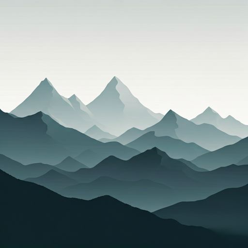
Above the Aosta valley, the land is opened on a large, windy and very exposed mountain, where the main references are the peaks and diagrams. At 2,730 meters, east free shelter is located in a clearly alpine context, near the Becca di Viou and also very close to Mont Mary . That position makes it a useful point for those who move through the top of the cord over Roisan especially when the day asks to fail, to guard or to reorganize a journey.
Refugee-bivouac Penne Nere (Becca di Viou) fits well as step support rather than as an isolated destination. Its location links with the environment of the Alta Via n. 1 della Valle d'Aosta the stage 13 passes to about 5 km, and also remains within an area where several local routes allow to escape to lower levels or change itinerary according to weather, tiredness or state of the land. In this type of relief, with long open slopes and hills, the orientation and reading of the map weigh as much as the physical form.
The access doesn't look like a low mountain. The altitude, the proximity of summits above or very close to 2,800 meters and the clear nature of the environment point to a demanding approach, with exposure to the wind and rapid changes of time. It is not appropriate to think of this as a coat with a determined logistics. In key to autonomy the most important data is water: the nearest invented sources are more than 2.5 km away, so it is not reasonable to have immediate supply next to the bivacco.
To plan the day well, it is important to take on a high and isolated mountain scenario. That means going out with enough water, time margin and clear alternative descent. In an area like this, where the shelter works mainly as transit support, the decision to continue to the divisive or to lose height to the valley depends much on visibility, wind and real energy reserve.


📏 3.5 Km
⛰️ 2422 m

📏 7.8 Km
⛰️ 2704 m

📏 7.9 Km
⛰️ 1917 m

📏 9.1 Km
⛰️ 2590 m

📏 9.2 Km
⛰️ 1934 m
📏 9.6 Km
⛰️ 2465 m

📏 9.8 Km
⛰️ 2400 m

📏 10.2 Km
⛰️ 3290 m
Download the app and start looking for the shelter of your next adventure


Find a place to sleep before night falls.


