Mountain refuge Gîte d'étape de Levie
We have it listed in the app!
We have it listed in the app!


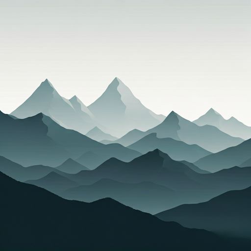
The Gîte d'étape de Levie refuge stands at 612 meters above sea level, overlooking the surroundings of strada a sorba, insorito, levie, sartène, córcega del sur, córcega, francia metropolitana, 20170, francia. It is a key spot for mountaineers looking to spend the night or take a break. Its coordinates (41.703, 9.123) place it in a strategic position for exploring the peaks and trails of the region.
11.1°C
Feels like: 10.3°C4 km/h
Gusts: 28.1 km/h4370 m
Snow lineUV 0
Clouds: 3% 0 mm
0 mm
 15 km/h
 UV máx: 7.6
 05:50
05:50
 20:53
0.1 mm
21.3 km/h
UV máx: 7.85
05:49
20:54
0 mm
19.6 km/h
UV máx: 8.1
05:49
20:54
0 mm
12.3 km/h
UV máx: 8.05
05:49
20:55
0 mm
12.5 km/h
UV máx: 8
05:49
20:56
0 mm
15.1 km/h
UV máx: 7.6
05:48
20:56
0 mm
11.7 km/h
UV máx: 7.75
05:48
20:57
20:53
0.1 mm
21.3 km/h
UV máx: 7.85
05:49
20:54
0 mm
19.6 km/h
UV máx: 8.1
05:49
20:54
0 mm
12.3 km/h
UV máx: 8.05
05:49
20:55
0 mm
12.5 km/h
UV máx: 8
05:49
20:56
0 mm
15.1 km/h
UV máx: 7.6
05:48
20:56
0 mm
11.7 km/h
UV máx: 7.75
05:48
20:57
Here the easiest thing to plan is the general orientation: this stage accommodation is left in Levie , inside the Alta Rocca at about 612 meters of altitude. It does not respond to the profile of an isolated shelter of crest, but to that of a point of support between reliefs of half mountain corsa where the terrain can quickly change between more comfortable roads, rocky lomas and more open sections of saw.
This position gives you interest as a reference of passage and navigation on map to move around the sector. In the immediate environment, the levels appear as Punta Pinetu , Punta di Serralu or Castellu di l'Accintu which help to read the relief and to place the next cords. It also fits into an area where itineraries of different character converge: local routes, links between villages and longer strands such as the Mare à Mare Sud or Strada Antica Da a Rocca à l'Alta Rocca . According to the chosen route, it can be used both to maintain a journey and to value a detour towards Levie without completely losing the logic of the itinerary.
In practical terms, mountain interest is less in altitude than in land transition. From this sector it is easily passed from inhabited areas and obvious paths to more stony slopes or secondary peaks where the orientation should be refined, especially if non-linear variants or routes are linked. The ascension to Punta di a Vacca Morta for example, it already introduces a more open and exposed environment than the immediate environment of the people.
For logistics, water is not usually the most restrictive factor in the start or end of stage, as there are several very close sources; the nearest, Funtana di Castaldaccia It's just a few minutes away. However, in the mountain corsa it is appropriate to confirm flows and not to depend on a single collection, especially in dry periods or if it is left on long routes with no more clear points of supply.
Because of its location, this mountain shelter in the Alta Rocca is more useful for trails that need to fit stages, to be oriented between several itineraries or to divide days in the southern mountain of Corsica than to seek a site of strict high mountain. Planning is mainly by choosing the road axis well and providing sufficient autonomy outside of the immediate environment of Levie.


Download the app and start looking for the shelter of your next adventure


Find a place to sleep before night falls.