Mountain refuge Cabane de Rü de Pisciadù
We have it listed in the app!
We have it listed in the app!


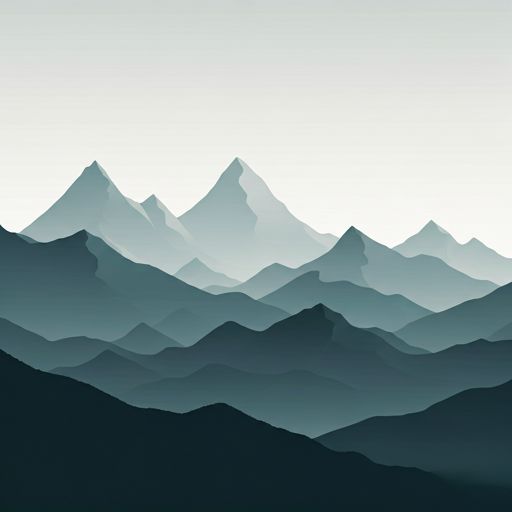
Discover the vastness of cabane de rü de pisciadù, tru dles cascades, rön, corvara in badia - corvara, pustertal - val pusteria, provincia de bolzano, trentino-alto adigio, 39033, italia by spending the night at the Cabane de Rü de Pisciadù refuge. It sits at 1740 meters, offering a unique balcony over the natural landscape. Find it on the map at latitude 46.544 and longitude 11.832.
11.4°C
Feels like: 9.7°C3.1 km/h
Gusts: 9.4 km/h3830 m
Snow lineUV 4.25
Clouds: 48% 0 mm
0 mm
 12.4 km/h
 UV máx: 6.9
 05:21
05:21
 21:00
24.2 mm
10.9 km/h
UV máx: 3.3
05:21
21:01
1.2 mm
6.2 km/h
UV máx: 5.35
05:20
21:01
5.7 mm
8 km/h
UV máx: 5.75
05:20
21:02
2.1 mm
6.9 km/h
UV máx: 7.65
05:19
21:03
19.8 mm
6.2 km/h
UV máx: 4.05
05:19
21:04
4.5 mm
8.3 km/h
UV máx: 2.75
05:19
21:04
21:00
24.2 mm
10.9 km/h
UV máx: 3.3
05:21
21:01
1.2 mm
6.2 km/h
UV máx: 5.35
05:20
21:01
5.7 mm
8 km/h
UV máx: 5.75
05:20
21:02
2.1 mm
6.9 km/h
UV máx: 7.65
05:19
21:03
19.8 mm
6.2 km/h
UV máx: 4.05
05:19
21:04
4.5 mm
8.3 km/h
UV máx: 2.75
05:19
21:04
Before we have this free shelter in support, it is appropriate to plan the day with autonomy and time change. The Cabane de Rü de Pisciadù it appears in an area where the main value is not in the known services, but in its function as basic guard within a mountain terrain very connected and exposed to the meteorology of the Dolomites.
It is located in the environment of Corvara, within the Stamp Group , a plateau massif surrounded by several ladine valleys and articulated by mountain steps that link different aspects. This position helps to understand its usefulness: not so much as an isolated destination, but as an intermediate point for moving between basins, hills and slopes of the sector. At 1,740 meters, the atmosphere is already clearly mountainous, with close relief that gains height to the peaks like Sass da Ciampac and to the high area of the Seal.
In route planning, their interest is increased by the proximity of known routes. In this sector, cross-border references such as the High Via 2 and the long-run axis München-Venedig , in addition to alpine routes and equipped with Brigata Tridina or the ferrata route of Piz Boè . This makes it a logical support to divide stages, link routes or adjust an approach before entering into higher and more committed terrain.
There are very close sources, with one to a few meters, but in mountain it is always appropriate to verify the flow and potability according to time and conditions. It is also reasonable to predict rapid changes in visibility or temperature, especially if the day continues towards steps, ferrats or high massif areas.


📏 16.7 Km
⛰️ 2601 m

📏 16.8 Km
⛰️ 2165 m

📏 17.2 Km
⛰️ 1880 m

📏 18.6 Km
⛰️ 2621 m

📏 31.3 Km
⛰️ 2650 m

📏 33 Km
⛰️ 1730 m

📏 44.1 Km
⛰️ 2320 m

📏 44.4 Km
⛰️ 2266 m
Download the app and start looking for the shelter of your next adventure


Find a place to sleep before night falls.


