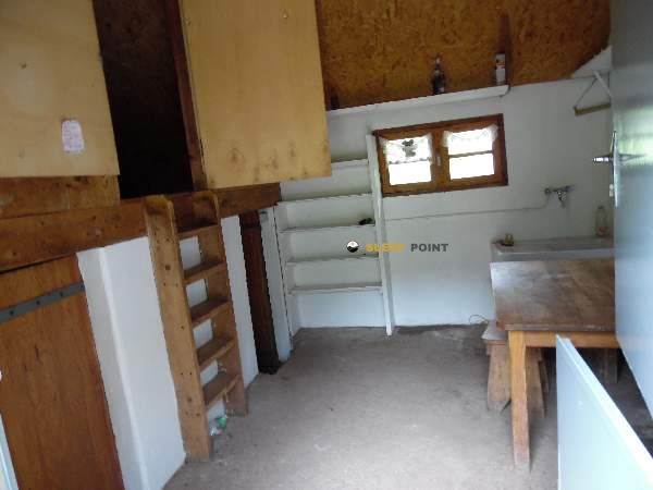
Mountain refuge Cabane de Gourgue Sec
We have it listed in the app!
We have it listed in the app!


Discover the vastness of cabane de gourgue sec, chemin de banasse, borce, oloron-sainte-marie, pyrénées-atlantiques, nueva aquitania, francia metropolitana, 64490, francia by spending the night at the Cabane de Gourgue Sec refuge. It sits at 1830 meters, offering a unique balcony over the natural landscape. Find it on the map at latitude 42.834 and longitude -0.594.
7.9°C
Feels like: 5.5°C14 km/h
Gusts: 26.6 km/h4250 m
Snow lineUV 0
Clouds: 84% 17.3 mm
 15 km/h
 UV máx: 3.05
 06:25
06:25
 21:36
0.5 mm
12.3 km/h
UV máx: 8
06:24
21:36
0 mm
10.2 km/h
UV máx: 7.55
06:24
21:37
0 mm
11.5 km/h
UV máx: 7.9
06:24
21:38
0.9 mm
12 km/h
UV máx: 8.1
06:23
21:38
0 mm
11.8 km/h
UV máx: 7.6
06:23
21:39
0 mm
9.7 km/h
UV máx: 7.75
06:23
21:40
21:36
0.5 mm
12.3 km/h
UV máx: 8
06:24
21:36
0 mm
10.2 km/h
UV máx: 7.55
06:24
21:37
0 mm
11.5 km/h
UV máx: 7.9
06:24
21:38
0.9 mm
12 km/h
UV máx: 8.1
06:23
21:38
0 mm
11.8 km/h
UV máx: 7.6
06:23
21:39
0 mm
9.7 km/h
UV máx: 7.75
06:23
21:40
In this sector of Borce , far from inhabited cores and in a mountain strip marked by the transit between the valley of Aspe and the border environment of Somport, the Cabane de Gourgue Sec It works mainly as a walking coat on isolated ground. Its altitude, 1830 meters, already places the shelter at a point where time changes fast and where the approach ceases to be a simple valley walk. Access requires a good idea of the day, with room for orientation and weather, especially if it is entered by secondary roads in the area of Banasse or from the environment of Les Forges d'Abel . There are no data from specific associated itineraries, so reliable mapping and real autonomy should be available from the output.
The surrounding landscape fits the pirenaic mountain of transition between herbous slopes, rails and steps to more open areas close to Ibon de Estanés , already in a context very linked to the divisive. This position makes it useful for mountaineers who seek to divide a journey, gain height before a long day or move on medium and high mountain terrain without depending on the bottom of the valley. The logistics, however, calls for caution: the registered sources are quite far away, all within 5 km, so it is not wise to consider the availability of water in the vicinity. In a mountain shelter in this sector of the Aspe, this distance forces to plan water load, time and adaptability if time is complicated.


Download the app and start looking for the shelter of your next adventure


Find a place to sleep before night falls.