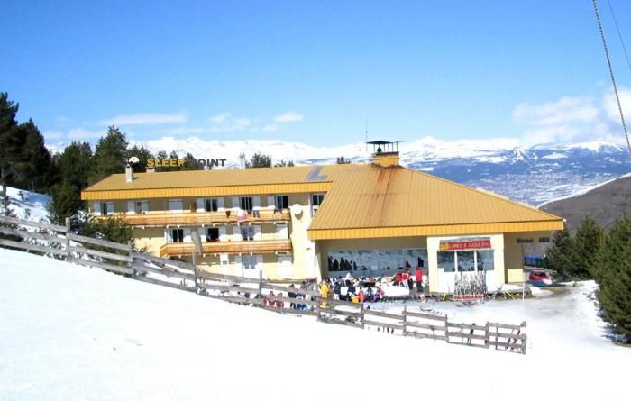
Mountain refuge Cabane Culasse (villa Simon)
We have it listed in the app!
We have it listed in the app!


At 1834 meters above sea level, nestled in cabane de la culasse, carretera de la culassa, mas patiras, llo, prades, pirineos orientales, occitania, francia metropolitana, 66800, francia, stands the Cabane Culasse (villa Simon) refuge. It is the perfect stop to spend the night or catch your breath. GPS coordinates: 42.418, 2.104.
10.6°C
Feels like: 8.6°C4.8 km/h
Gusts: 15.5 km/h4470 m
Snow lineUV 0
Clouds: 48% 11.2 mm
 14.9 km/h
 UV máx: 7.15
 06:15
06:15
 21:24
0 mm
12 km/h
UV máx: 8.05
06:15
21:24
0.1 mm
8.7 km/h
UV máx: 6.9
06:15
21:25
0 mm
8.2 km/h
UV máx: 7.45
06:14
21:26
0.6 mm
14.8 km/h
UV máx: 7.95
06:14
21:26
4.2 mm
14 km/h
UV máx: 6.6
06:14
21:27
0 mm
9.7 km/h
UV máx: 7.85
06:14
21:27
21:24
0 mm
12 km/h
UV máx: 8.05
06:15
21:24
0.1 mm
8.7 km/h
UV máx: 6.9
06:15
21:25
0 mm
8.2 km/h
UV máx: 7.45
06:14
21:26
0.6 mm
14.8 km/h
UV máx: 7.95
06:14
21:26
4.2 mm
14 km/h
UV máx: 6.6
06:14
21:27
0 mm
9.7 km/h
UV máx: 7.85
06:14
21:27
High Cerdaña. At 1,834 meters, Cabane Culasse (Simon villa) appears on the mountain of Llo as a coat linked to open ground, with already clearly pyreneic environment and a weather exposure that should be assessed well before leaving. In this part of Occitania , the relief is raised towards the border line where references such as the Puigmal or the Peak of the Segre, summits that help to understand the character of the environment: long slopes, rapid changes of time and a sense of isolation outside the most traveled itineraries.
The reference to Culasse, in the mountain above Llo, places it in a useful area for those who seek an intermediate support point on medium and high mountain terrain, more oriented to progress on the side than at a very busy step. There are no data from identified routes associated with this shelter, so the approach must be considered with map reading, attention to orientation and sufficient margin for changes in visibility or wind. The altitude is not extreme, but is sufficient to notice cold, fog or rapid worsening in unstable days.
Its role fits mainly as a support coat in a scattered mountain area, without having to present it as a basis for concrete ascension when there is no confirmed information on nearby routes. It can also be useful to divide the routes along the head of Llo or to have a long day guard on this side of the French Cerdaña.
Logistics requires autonomy. The registered sources are far from the shelter, with the closest to more than 4.5 km, so that the water should not be taken for granted on the ground. In the absence of accurate data on services or updated status, it is reasonable to plan with sufficient equipment, water secured from the start and revised weather forecast for an exposed area.


📏 0 Km
⛰️ 1830 m

📏 2.5 Km
⛰️ 2020 m

📏 2.8 Km
⛰️ 2245 m

📏 3.1 Km
⛰️ 2050 m

📏 3.2 Km
⛰️ 1930 m

📏 3.8 Km
⛰️ 1761 m
📏 3.9 Km
⛰️ 1800 m

📏 4.3 Km
⛰️ 1805 m
Download the app and start looking for the shelter of your next adventure


Find a place to sleep before night falls.


