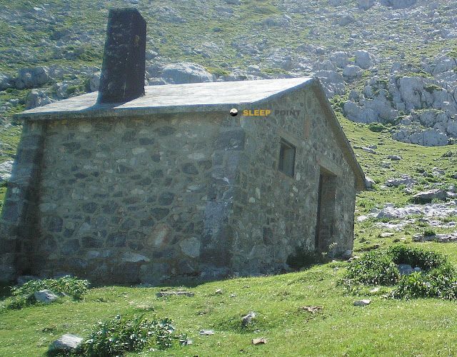
Mountain refuge Cabañas en la Vega el Paré
We have it listed in the app!
We have it listed in the app!


Discover the Cabañas en la Vega el Paré refuge, an alpine shelter located at 1297 meters in the area of cueva el frieru, carretera covadonga - los lagos, la riera, cangas de onís, asturias, 33556, españa. Whether you are on a multi-day trek or a day hike, this point (43.257, -4.975) will provide the peace and shelter you seek in the mountains.
9.3°C
Feels like: 8°C7.6 km/h
Gusts: 14.4 km/h3670 m
Snow lineUV 0
Clouds: 100% 19.9 mm
 13.5 km/h
 UV máx: 7.75
 06:41
06:41
 21:55
0.7 mm
12.3 km/h
UV máx: 7.5
06:40
21:56
0 mm
14.1 km/h
UV máx: 5.5
06:40
21:56
0 mm
6.5 km/h
UV máx: 8.05
06:40
21:57
5.1 mm
12.6 km/h
UV máx: 7.2
06:39
21:57
1.5 mm
7.1 km/h
UV máx: 7.85
06:39
21:58
0 mm
9.1 km/h
UV máx: 7.85
06:39
21:59
21:55
0.7 mm
12.3 km/h
UV máx: 7.5
06:40
21:56
0 mm
14.1 km/h
UV máx: 5.5
06:40
21:56
0 mm
6.5 km/h
UV máx: 8.05
06:40
21:57
5.1 mm
12.6 km/h
UV máx: 7.2
06:39
21:57
1.5 mm
7.1 km/h
UV máx: 7.85
06:39
21:58
0 mm
9.1 km/h
UV máx: 7.85
06:39
21:59
At 1,297 metres, Cabins in the Vega el Paré is located on a ground of high and open relief, within the environment of the Lakes of Covadonga and the western massif of the Pics of Europe . This is not yet a fully alpine environment, but a clear exposure to rapid time change, fog and wind, something important in an area where orientation can be complicated as soon as visibility is closed.
Its utility fits mainly as basic support for a mountain day or for dividing tours in this sector of the park. Close by they pass itineraries known as the route of the Lakes of Covadonga, the Senda del Arcediano or Route of the Reconquest , so you may have an interest in stage planning without relying on immediate inhabited cores. It is appropriate to raise this with margin and autonomy, especially if it is entered with uncertain weather or outside a very obvious route.
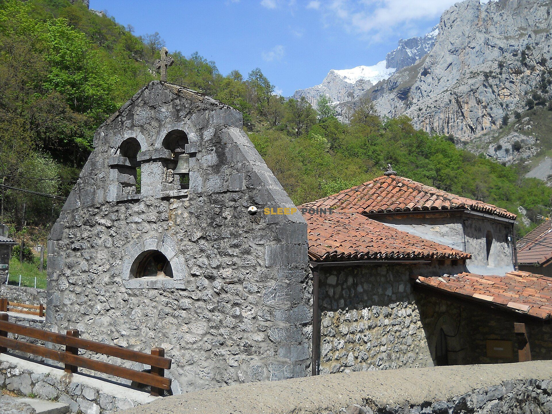
The immediate environment combines lomas, vegas and nearby elevations like Porru Laguiellu or Arnaedo head , while to the inside of the massif there appear more serious summits like Pico los Cabrones and other towers in the sector. This gives you a transition role between more accessible terrain and more rough mountain, useful for anyone who wants to link routes or approach higher areas without going back down to the bottom of the valley.
For logistics, there are several sources in a relatively close radius, with one to about 1.6 km, but in mountain that reference does not replace the prior check or guarantee flow at any time. If this point is to be used as a safeguard or support, it is reasonable not to have equipment, services or supply in advance and to prepare the day with water, shelter and sufficient space for time changes.


📏 2.9 Km
⛰️ 1448 m
📏 4.5 Km
⛰️ 1715 m

📏 4.5 Km
⛰️ 1630 m
📏 6.3 Km
⛰️ 1394 m

📏 7.4 Km
⛰️ 2039 m

📏 9.9 Km
⛰️ 1682 m

📏 10.4 Km
⛰️ 1321 m

📏 10.8 Km
⛰️ 2041 m
Download the app and start looking for the shelter of your next adventure


Find a place to sleep before night falls.


